Francia Alpok 09 vándor
- 69.8 km
- 824 m
- 1,464 m
- Briançon, Provence-Alpes-Côte d'Azur Region, France
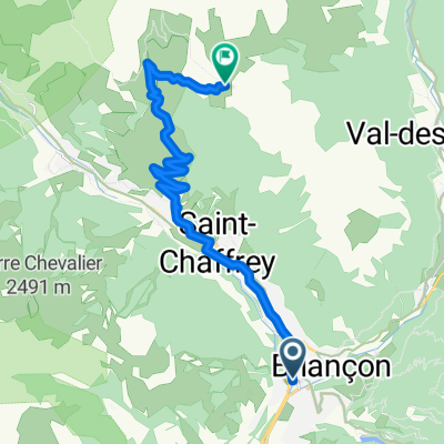
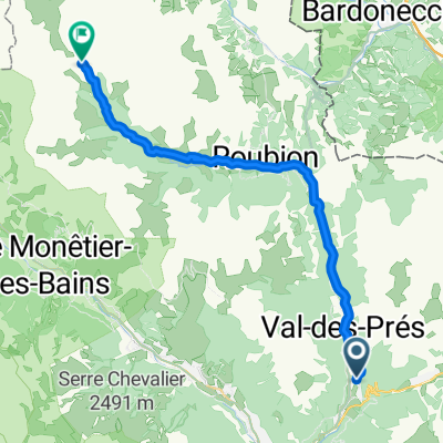
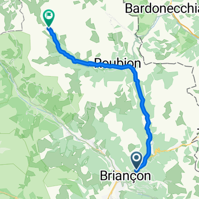
A cycling route starting in Briançon, Provence-Alpes-Côte d'Azur Region, France.
Overview
Breathtaking tour! From green fields in the valleys to the lunar landscape on Col d'Izoard, it has everything. It doesn't get much more varied than this. The asphalt is a dream and from the north side there is also plenty of woodland providing a welcome shade on the ascent. One of my absolute favorite mountains!
created this 16 years ago
Continue with Bikemap
You would like to ride Briancon - Col d`Izoard - La Roche de Rame - Briancon or customize it for your own trip? Here is what you can do with this Bikemap route:
Free trial for 3 days, or one-time payment. More about Bikemap Premium.
Discover more Premium features.
Get Bikemap PremiumFrom our community
Open it in the app