Furkajoch/Faschinajoch
- 79.8 km
- 1,679 m
- 1,679 m
- Meiningen, Vorarlberg, Austria
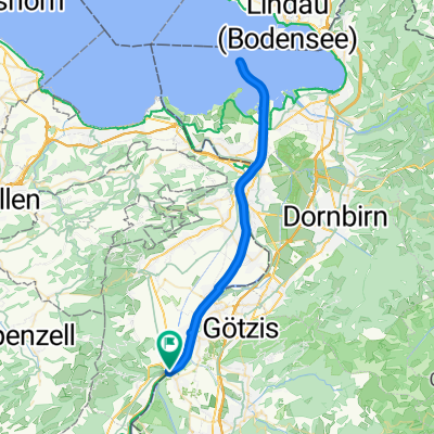
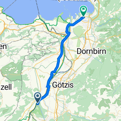
A cycling route starting in Meiningen, Vorarlberg, Austria.
Overview
From the Meinigen border crossing, head through Oberriet towards Kobelwald. The road continues through the Kobelwald forest to a cozy inn. There, the road surface changes to gravel. Continue past some alpine meadows and huts. After a few hundred meters, the road is asphalted again. Towards the end, there are some very steep sections with gradients up to 20%. Upon reaching the mountain ridge, you already have the summit in sight. Those who wish can ride along the ridge for a few meters and then complete the last meters to the summit on foot. A stunning view of the Rhine Valley opens up, and on the opposite side, you look directly into the canton of Appenzell Innerrhoden.
Asphalt: 85% Gravel: 15%
For the descent, you can take the same route or just before the inn turn right onto the paved Brunnenbergstraße. This road leads in steep switchbacks directly to Rüthi, from where the starting point is easily reached along the Rhine embankment.
(cloned from route 45414)
created this 12 years ago
Continue with Bikemap
You would like to ride Meiningen Hoher Kasten or customize it for your own trip? Here is what you can do with this Bikemap route:
Free trial for 3 days, or one-time payment. More about Bikemap Premium.
Discover more Premium features.
Get Bikemap PremiumFrom our community
Open it in the app