

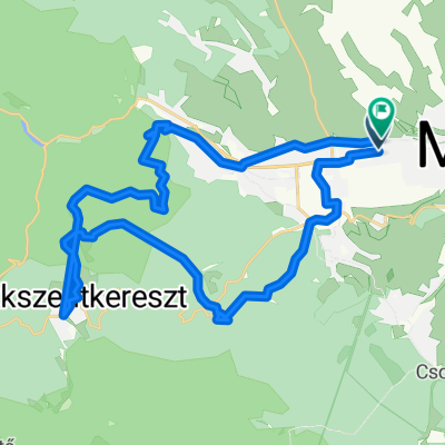
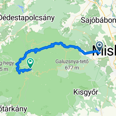
Tapolca-Bánkút
A cycling route starting in Miskolc, Borsod-Abauj Zemplen county, Hungary.
Overview
About this route
legrövidebb út Miskolctapolcáról Bánkútra
- -:--
- Duration
- 32 km
- Distance
- 863 m
- Ascent
- 111 m
- Descent
- ---
- Avg. speed
- ---
- Max. altitude

Route quality
Waytypes & surfaces along the route
Waytypes
Quiet road
6.4 km
(20 %)
Road
3.5 km
(11 %)
Surfaces
Paved
26.9 km
(84 %)
Asphalt
26.9 km
(84 %)
Undefined
5.1 km
(16 %)
Continue with Bikemap
Use, edit, or download this cycling route
You would like to ride Tapolca-Bánkút or customize it for your own trip? Here is what you can do with this Bikemap route:
Free features
- Save this route as favorite or in collections
- Copy & plan your own version of this route
- Sync your route with Garmin or Wahoo
Premium features
Free trial for 3 days, or one-time payment. More about Bikemap Premium.
- Navigate this route on iOS & Android
- Export a GPX / KML file of this route
- Create your custom printout (try it for free)
- Download this route for offline navigation
Discover more Premium features.
Get Bikemap PremiumFrom our community
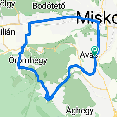
Other popular routes starting in Miskolc
 Brigád utca, Miskolc - Újítók utca, Miskolc
- Distance
- 34.7 km
- Ascent
- 950 m
- Descent
- 955 m
- Location
- Miskolc, Borsod-Abauj Zemplen county, Hungary
 Miskolc - Nyék- Miskolc
- Distance
- 34.8 km
- Ascent
- 126 m
- Descent
- 225 m
- Location
- Miskolc, Borsod-Abauj Zemplen county, Hungary
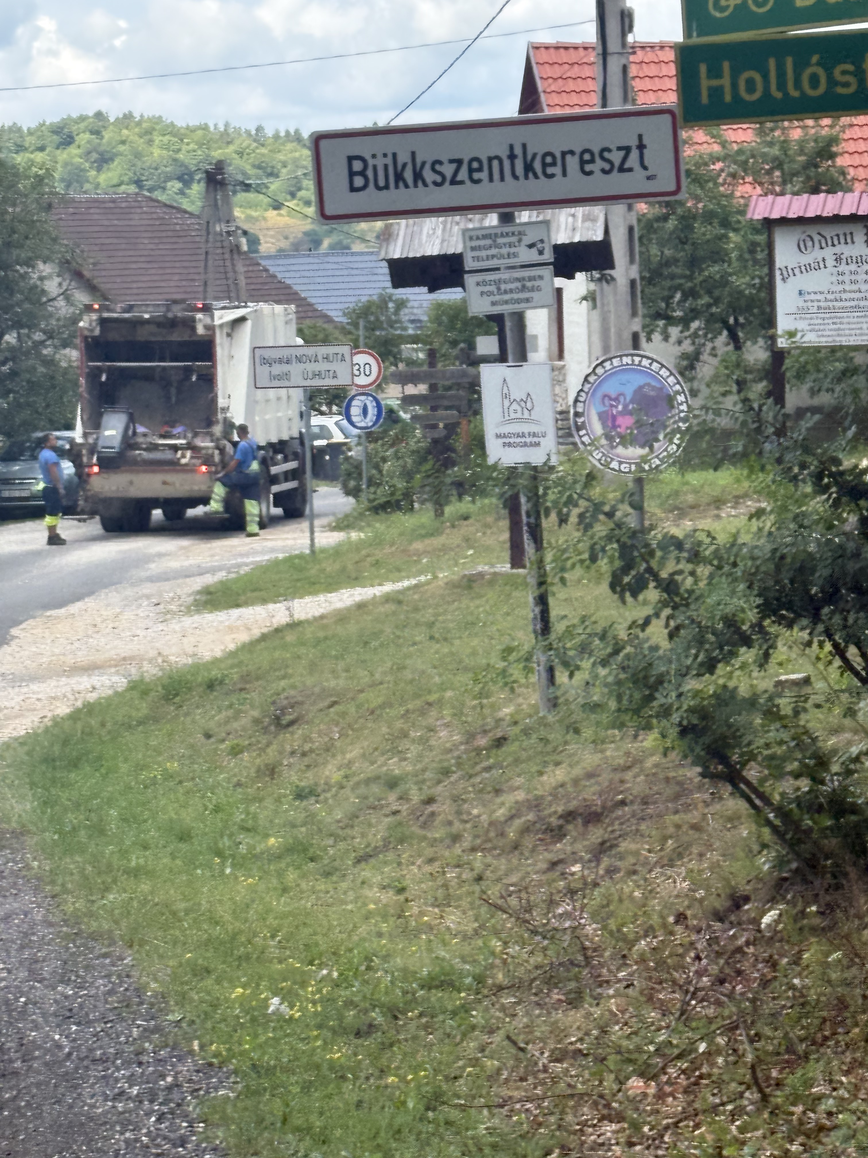 Kis-Hunyad utca, Miskolc - 2519-es mellékút, Bükkszentkereszt
- Distance
- 15.4 km
- Ascent
- 524 m
- Descent
- 40 m
- Location
- Miskolc, Borsod-Abauj Zemplen county, Hungary
 Kis-Hunyad utca, Miskolc - Kis-Hunyad utca, Miskolc
- Distance
- 46.7 km
- Ascent
- 559 m
- Descent
- 561 m
- Location
- Miskolc, Borsod-Abauj Zemplen county, Hungary
 Útvonal ide: Katowice utca 35-27
- Distance
- 21.6 km
- Ascent
- 170 m
- Descent
- 216 m
- Location
- Miskolc, Borsod-Abauj Zemplen county, Hungary
 xyzt5vcs6
- Distance
- 15.5 km
- Ascent
- 524 m
- Descent
- 597 m
- Location
- Miskolc, Borsod-Abauj Zemplen county, Hungary
 48.103, 20.738 - 48.067, 20.500
- Distance
- 43.3 km
- Ascent
- 2,059 m
- Descent
- 1,357 m
- Location
- Miskolc, Borsod-Abauj Zemplen county, Hungary
 Komlóstető night ride
- Distance
- 19.6 km
- Ascent
- 211 m
- Descent
- 246 m
- Location
- Miskolc, Borsod-Abauj Zemplen county, Hungary
Open it in the app