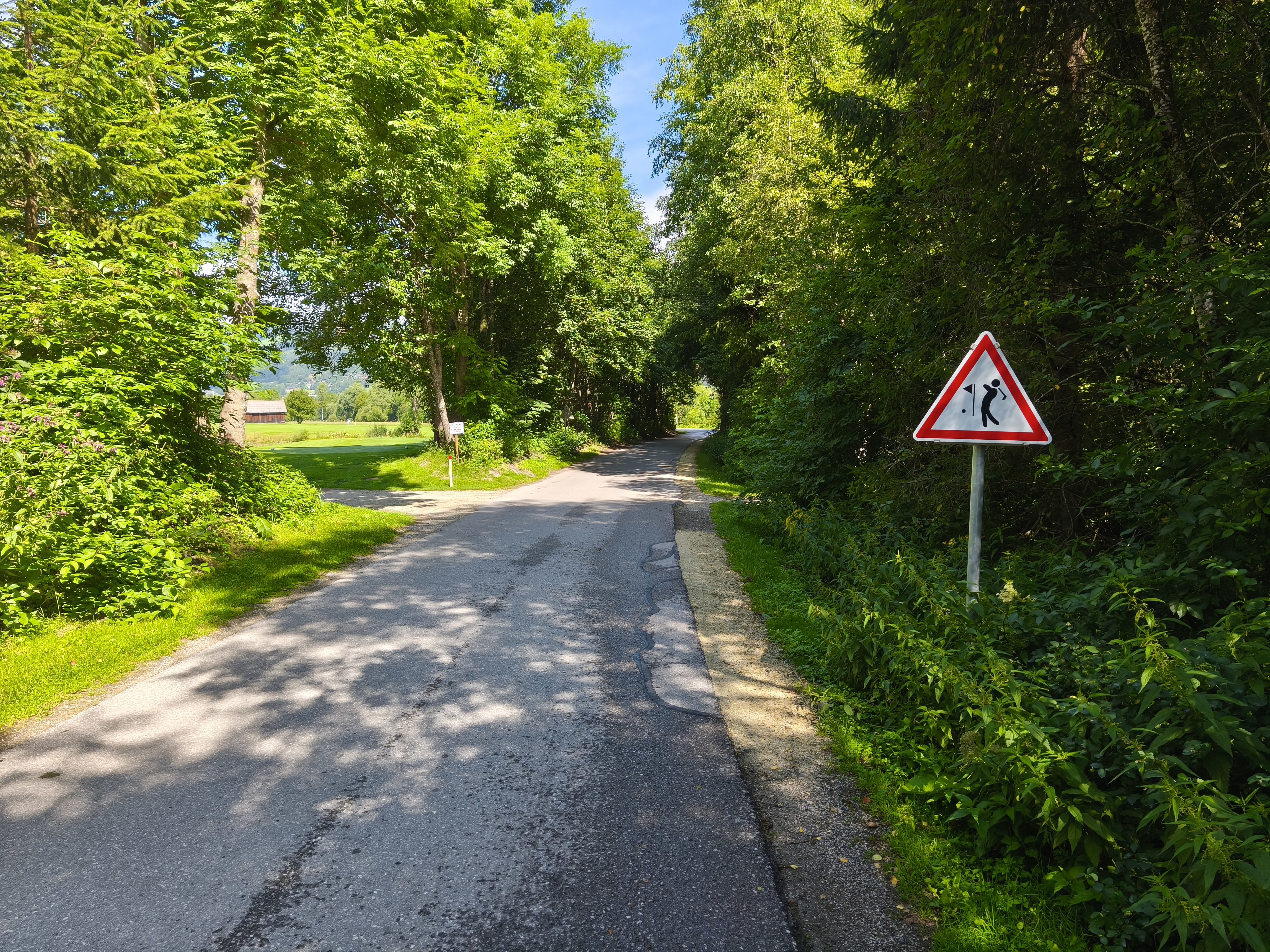
Marktstraße nach Hauptplatz
- 317.7 km
- 2,830 m
- 3,691 m
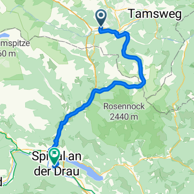
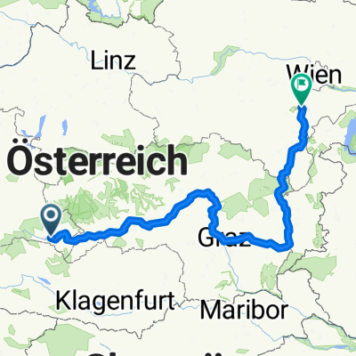
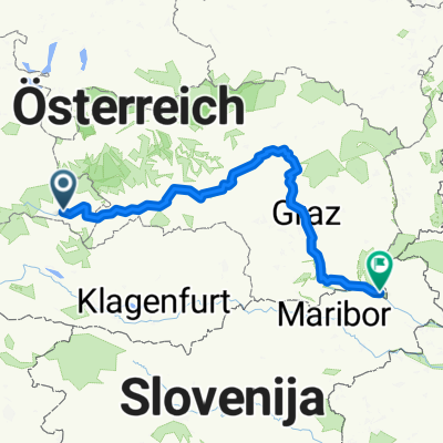
- St Michael im Lungau, Salzburg, Austria
A cycling route starting in St Michael im Lungau, Salzburg, Austria.
Overview
RR-Berg: St.Michael - Flattnitz - Metnitztal - Gurktal - Feldkirchen - Haiden
created this 12 years ago
Route quality
Road
12.4 km
(9 %)
Track
2.8 km
(2 %)
Paved
93.6 km
(68 %)
Asphalt
93.6 km
(68 %)
Undefined
44 km
(32 %)
Continue with Bikemap
You would like to ride RR-Berg: St.Michael - Flattnitz - Metnitztal - Gurktal - FE - HA or customize it for your own trip? Here is what you can do with this Bikemap route:
Free trial for 3 days, or one-time payment. More about Bikemap Premium.
Discover more Premium features.
Get Bikemap PremiumFrom our community
Open it in the app