STP - Day Two - Highway 30
A cycling route starting in Longview, Washington, United States of America.
Overview
About this route
2013 STP Route - Day Two
Highway 30, rolling hills- -:--
- Duration
- 74 km
- Distance
- 248 m
- Ascent
- 203 m
- Descent
- ---
- Avg. speed
- ---
- Avg. speed
Continue with Bikemap
Use, edit, or download this cycling route
You would like to ride STP - Day Two - Highway 30 or customize it for your own trip? Here is what you can do with this Bikemap route:
Free features
- Save this route as favorite or in collections
- Copy & plan your own version of this route
- Sync your route with Garmin or Wahoo
Premium features
Free trial for 3 days, or one-time payment. More about Bikemap Premium.
- Navigate this route on iOS & Android
- Export a GPX / KML file of this route
- Create your custom printout (try it for free)
- Download this route for offline navigation
Discover more Premium features.
Get Bikemap PremiumFrom our community
Other popular routes starting in Longview
- POOP Day Three
- Distance
- 82 km
- Ascent
- 208 m
- Descent
- 200 m
- Location
- Longview, Washington, United States of America
- STP - Day Two - Highway 30
- Distance
- 74 km
- Ascent
- 248 m
- Descent
- 203 m
- Location
- Longview, Washington, United States of America
- Cascade way
- Distance
- 1.7 km
- Ascent
- 51 m
- Descent
- 9 m
- Location
- Longview, Washington, United States of America
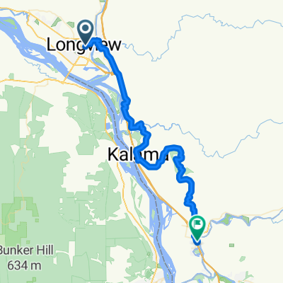
- 464 Oregon Way, Longview to 795 S Columbia River Hwy, Saint Helens
- Distance
- 54.3 km
- Ascent
- 308 m
- Descent
- 286 m
- Location
- Longview, Washington, United States of America
- 1246 Third Ave, Longview to 1205 S 11th Ave, Kelso
- Distance
- 3.7 km
- Ascent
- 19 m
- Descent
- 14 m
- Location
- Longview, Washington, United States of America
- WASHINGTON1
- Distance
- 186.1 km
- Ascent
- 1,582 m
- Descent
- 1,568 m
- Location
- Longview, Washington, United States of America
Open it in the app