
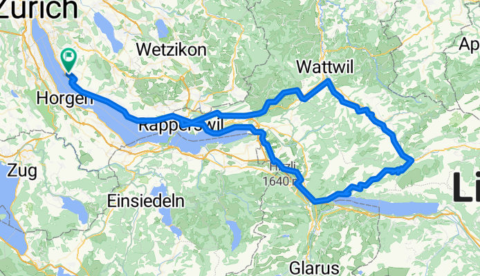
Herrliberg Starkenbach Amden
A cycling route starting in Herrliberg, Canton of Zurich, Switzerland.
Overview
About this route
Runde über Ricken Toggenburg und Amden
- -:--
- Duration
- 134.9 km
- Distance
- 1,534 m
- Ascent
- 1,548 m
- Descent
- ---
- Avg. speed
- ---
- Max. altitude
Route quality
Waytypes & surfaces along the route
Waytypes
Busy road
60.8 km
(45 %)
Quiet road
25.1 km
(19 %)
Surfaces
Paved
125.9 km
(93 %)
Unpaved
1.1 km
(<1 %)
Asphalt
118.4 km
(88 %)
Concrete
7 km
(5 %)
Continue with Bikemap
Use, edit, or download this cycling route
You would like to ride Herrliberg Starkenbach Amden or customize it for your own trip? Here is what you can do with this Bikemap route:
Free features
- Save this route as favorite or in collections
- Copy & plan your own version of this route
- Split it into stages to create a multi-day tour
- Sync your route with Garmin or Wahoo
Premium features
Free trial for 3 days, or one-time payment. More about Bikemap Premium.
- Navigate this route on iOS & Android
- Export a GPX / KML file of this route
- Create your custom printout (try it for free)
- Download this route for offline navigation
Discover more Premium features.
Get Bikemap PremiumFrom our community
Other popular routes starting in Herrliberg
 Grosse Zürichseerundfahrt
- Distance
- 93.3 km
- Ascent
- 268 m
- Descent
- 268 m
- Location
- Herrliberg, Canton of Zurich, Switzerland
 Herrliberg Starkenbach Amden
- Distance
- 134.9 km
- Ascent
- 1,534 m
- Descent
- 1,548 m
- Location
- Herrliberg, Canton of Zurich, Switzerland
 Herrliberg - IM70.3 Strecke
- Distance
- 101.2 km
- Ascent
- 650 m
- Descent
- 646 m
- Location
- Herrliberg, Canton of Zurich, Switzerland
 Rundtour Herrliberg-Lützelsee-Greifensee-Herrliberg
- Distance
- 40.1 km
- Ascent
- 666 m
- Descent
- 670 m
- Location
- Herrliberg, Canton of Zurich, Switzerland
 Forchstrasse 512, Herrliberg nach Schluefweg 10, Kloten
- Distance
- 23.7 km
- Ascent
- 295 m
- Descent
- 466 m
- Location
- Herrliberg, Canton of Zurich, Switzerland
 Tour de Oberland
- Distance
- 38.4 km
- Ascent
- 832 m
- Descent
- 836 m
- Location
- Herrliberg, Canton of Zurich, Switzerland
 Zürichseerundfahrt Gross
- Distance
- 92.2 km
- Ascent
- 141 m
- Descent
- 142 m
- Location
- Herrliberg, Canton of Zurich, Switzerland
 Greifensee
- Distance
- 41.2 km
- Ascent
- 591 m
- Descent
- 596 m
- Location
- Herrliberg, Canton of Zurich, Switzerland
Open it in the app