

Hohenleipisch - Berlin
A cycling route starting in Hohenleipisch, Brandenburg, Germany.
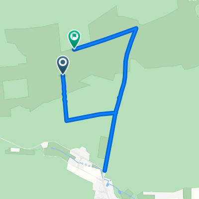
Overview
About this route
.
- -:--
- Duration
- 146.1 km
- Distance
- 145 m
- Ascent
- 241 m
- Descent
- ---
- Avg. speed
- ---
- Max. altitude

Route quality
Waytypes & surfaces along the route
Waytypes
Path
29.2 km
(20 %)
Quiet road
10.2 km
(7 %)
Surfaces
Paved
122.7 km
(84 %)
Unpaved
8.8 km
(6 %)
Asphalt
118.3 km
(81 %)
Gravel
7.3 km
(5 %)
Continue with Bikemap
Use, edit, or download this cycling route
You would like to ride Hohenleipisch - Berlin or customize it for your own trip? Here is what you can do with this Bikemap route:
Free features
- Save this route as favorite or in collections
- Copy & plan your own version of this route
- Split it into stages to create a multi-day tour
- Sync your route with Garmin or Wahoo
Premium features
Free trial for 3 days, or one-time payment. More about Bikemap Premium.
- Navigate this route on iOS & Android
- Export a GPX / KML file of this route
- Create your custom printout (try it for free)
- Download this route for offline navigation
Discover more Premium features.
Get Bikemap PremiumFrom our community
Other popular routes starting in Hohenleipisch
 Rundtour Niederlausitzer Heidelandschaft
- Distance
- 39.1 km
- Ascent
- 145 m
- Descent
- 145 m
- Location
- Hohenleipisch, Brandenburg, Germany
 unsere Heide - Moor - Tour
- Distance
- 35 km
- Ascent
- 154 m
- Descent
- 154 m
- Location
- Hohenleipisch, Brandenburg, Germany
 Elsterradweg Hohenleipisch - Ruhland
- Distance
- 27.2 km
- Ascent
- 45 m
- Descent
- 86 m
- Location
- Hohenleipisch, Brandenburg, Germany
 Gerade Fahrt in Hohenleipisch
- Distance
- 4 km
- Ascent
- 113 m
- Descent
- 114 m
- Location
- Hohenleipisch, Brandenburg, Germany
 Straße Ohne Straßennamen nach Straße Ohne Straßennamen
- Distance
- 4.4 km
- Ascent
- 11 m
- Descent
- 9 m
- Location
- Hohenleipisch, Brandenburg, Germany
 Gorden, Gorden-Staupitz nach Seestraße 39, Potsdam
- Distance
- 127 km
- Ascent
- 469 m
- Descent
- 541 m
- Location
- Hohenleipisch, Brandenburg, Germany
 Unnamed Road, Hohenleipisch nach Uferstraße 2, Elsterwerda
- Distance
- 28.6 km
- Ascent
- 337 m
- Descent
- 352 m
- Location
- Hohenleipisch, Brandenburg, Germany
 Unnamed Road, Bad Liebenwerda nach Schulstraße 34, Bad Liebenwerda
- Distance
- 18.1 km
- Ascent
- 34 m
- Descent
- 39 m
- Location
- Hohenleipisch, Brandenburg, Germany
Open it in the app