

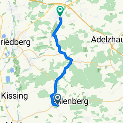
Ried - Plangeross
A cycling route starting in Ried, Bavaria, Germany.
Overview
About this route
MTB Tour im Juli 2013 ins Pitztal zum Wandern. Geplant sind 10 Std. Fahrzeit.
Es waren 202,5 Km. Fahrzeit 8:57 Std., 2200 Hm laut HAC4, 2470 Hm laut Garmin, 22,6 Km/h Durchschnitt, 1100 Hm bergab, Gefahren mit meinem Stevens Fluent MTB- -:--
- Duration
- 199.5 km
- Distance
- 1,774 m
- Ascent
- 679 m
- Descent
- ---
- Avg. speed
- ---
- Max. altitude

Route quality
Waytypes & surfaces along the route
Waytypes
Busy road
118.8 km
(60 %)
Road
26.1 km
(13 %)
Surfaces
Paved
180.3 km
(90 %)
Unpaved
13.1 km
(7 %)
Asphalt
178.4 km
(89 %)
Gravel
10.3 km
(5 %)
Continue with Bikemap
Use, edit, or download this cycling route
You would like to ride Ried - Plangeross or customize it for your own trip? Here is what you can do with this Bikemap route:
Free features
- Save this route as favorite or in collections
- Copy & plan your own version of this route
- Split it into stages to create a multi-day tour
- Sync your route with Garmin or Wahoo
Premium features
Free trial for 3 days, or one-time payment. More about Bikemap Premium.
- Navigate this route on iOS & Android
- Export a GPX / KML file of this route
- Create your custom printout (try it for free)
- Download this route for offline navigation
Discover more Premium features.
Get Bikemap PremiumFrom our community
Other popular routes starting in Ried
 Ried-Schloss Odelzhausen
- Distance
- 14.4 km
- Ascent
- 17 m
- Descent
- 39 m
- Location
- Ried, Bavaria, Germany
 Rundtour von Hörmannsberg Odelzhausen Landmannsdorf Friedberg Kissing
- Distance
- 51 km
- Ascent
- 173 m
- Descent
- 173 m
- Location
- Ried, Bavaria, Germany
 Odelzhausen - Eurasburg - Runde
- Distance
- 31.7 km
- Ascent
- 243 m
- Descent
- 245 m
- Location
- Ried, Bavaria, Germany
 Ried- Aschau im Zillertal (Nonstop)
- Distance
- 237.3 km
- Ascent
- 3,216 m
- Descent
- 3,134 m
- Location
- Ried, Bavaria, Germany
 Sportheimstraße nach Aichacher Straße
- Distance
- 13.9 km
- Ascent
- 80 m
- Descent
- 145 m
- Location
- Ried, Bavaria, Germany
 über Sixnitgern nach Sielenbach
- Distance
- 53.4 km
- Ascent
- 294 m
- Descent
- 294 m
- Location
- Ried, Bavaria, Germany
 Feierabendrunde über den Kuhsee
- Distance
- 33.5 km
- Ascent
- 112 m
- Descent
- 112 m
- Location
- Ried, Bavaria, Germany
 Ried Runde 3
- Distance
- 19.1 km
- Ascent
- 117 m
- Descent
- 115 m
- Location
- Ried, Bavaria, Germany
Open it in the app