Badstraße 10, Göppingen nach Filderhauptstraße 136, Stuttgart
- 41.7 km
- 352 m
- 334 m
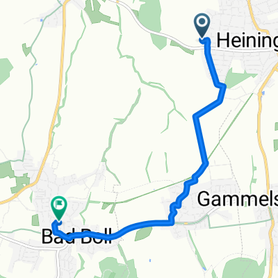
- Heiningen, Baden-Wurttemberg, Germany
A cycling route starting in Heiningen, Baden-Wurttemberg, Germany.
Overview
Easy Voralb route for a quick ride.
Route quality
Quiet road
10.6 km
(52 %)
Track
5.3 km
(26 %)
Paved
15.1 km
(74 %)
Asphalt
10.4 km
(51 %)
Paved (undefined)
4.7 km
(23 %)
Undefined
5.3 km
(26 %)
Continue with Bikemap
You would like to ride Leichte Voralbroute or customize it for your own trip? Here is what you can do with this Bikemap route:
Free trial for 3 days, or one-time payment. More about Bikemap Premium.
Discover more Premium features.
Get Bikemap PremiumFrom our community
Open it in the app