永和山水庫
- 54.2 km
- 701 m
- 754 m
- Hsinchu, Taiwan, Taiwan
A cycling route starting in Hsinchu, Taiwan, Taiwan.
Overview
Route quality
Road
18.5 km
(23 %)
Access road
8.8 km
(11 %)
Paved
15.3 km
(19 %)
Asphalt
8.8 km
(11 %)
Paved (undefined)
6.4 km
(8 %)
Undefined
65 km
(81 %)
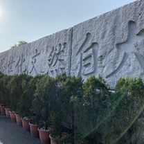
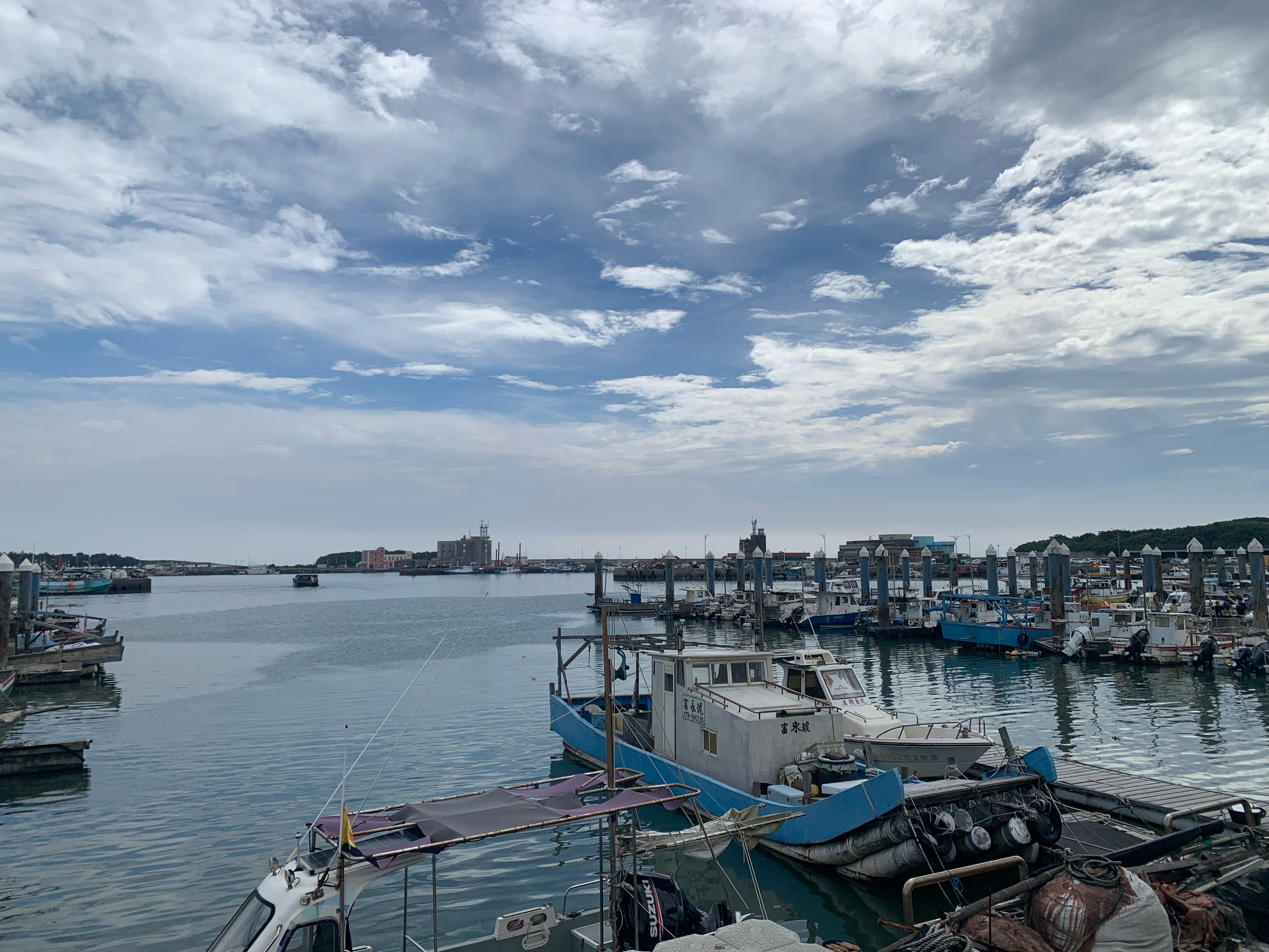
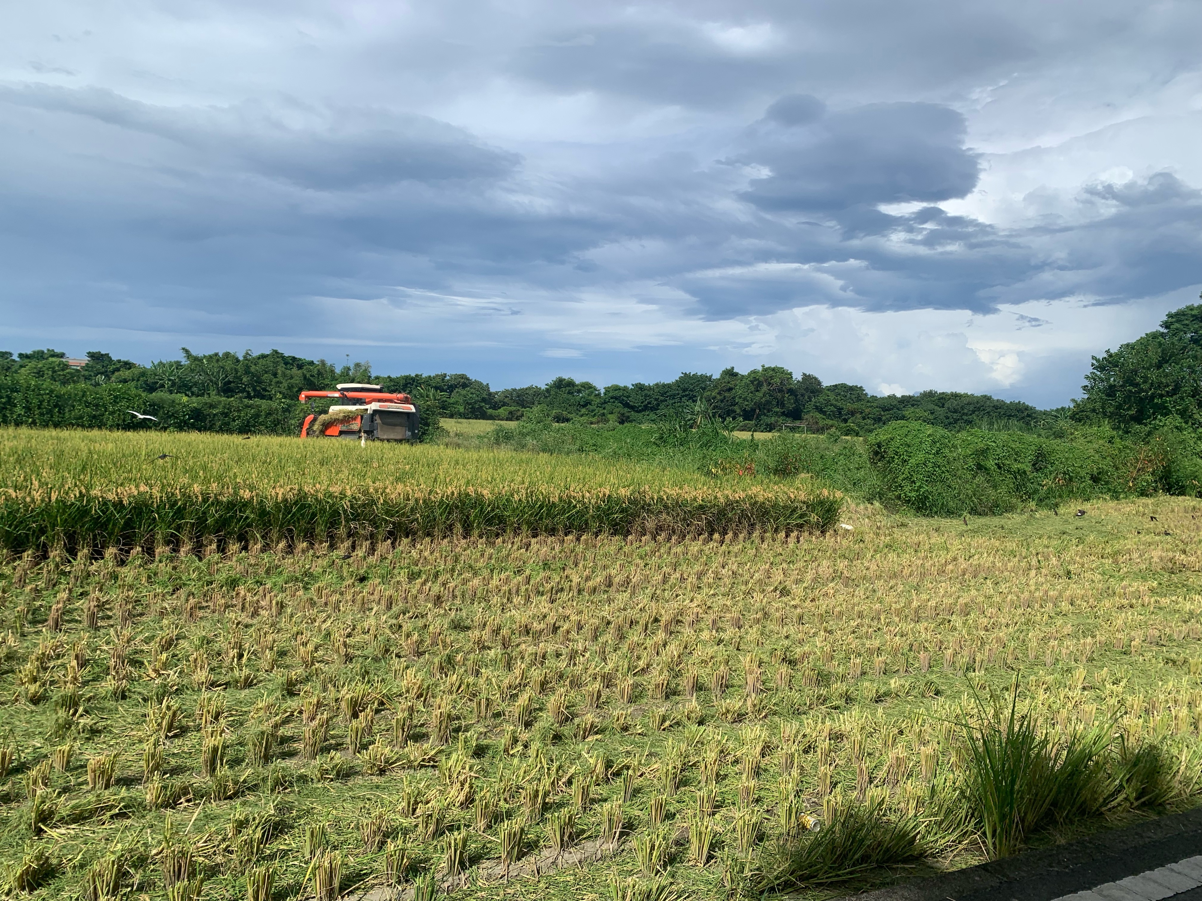
Route highlights
Continue with Bikemap
You would like to ride 頭份~南庄~仙山~獅譚~錫溢隧道~苗栗~頭屋~頭份 or customize it for your own trip? Here is what you can do with this Bikemap route:
Free trial for 3 days, or one-time payment. More about Bikemap Premium.
Discover more Premium features.
Get Bikemap PremiumFrom our community
Open it in the app