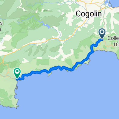
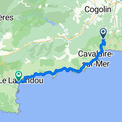
Croix
A cycling route starting in La Croix-Valmer, Provence-Alpes-C么te d'Azur Region, France.
Overview
About this route
Croix-Cogolin-Collobrieres-Bormes-Rayol-Cavalaire-Croix
- -:--
- Duration
- 92.6 km
- Distance
- 1,073 m
- Ascent
- 1,074 m
- Descent
- ---
- Avg. speed
- ---
- Max. altitude
Route quality
Waytypes & surfaces along the route
Waytypes
Road
46.3 km
(50 %)
Quiet road
13 km
(14 %)
Surfaces
Paved
69.4 km
(75 %)
Unpaved
2.8 km
(3 %)
Asphalt
69.4 km
(75 %)
Ground
1.9 km
(2 %)
Continue with Bikemap
Use, edit, or download this cycling route
You would like to ride Croix or customize it for your own trip? Here is what you can do with this Bikemap route:
Free features
- Save this route as favorite or in collections
- Copy & plan your own version of this route
- Split it into stages to create a multi-day tour
- Sync your route with Garmin or Wahoo
Premium features
Free trial for 3 days, or one-time payment. More about Bikemap Premium.
- Navigate this route on iOS & Android
- Export a GPX / KML file of this route
- Create your custom printout (try it for free)
- Download this route for offline navigation
Discover more Premium features.
Get Bikemap PremiumFrom our community
Other popular routes starting in La Croix-Valmer
Avenue du Souleillado, La Croix-Valmer nach Boulevard de Lattre de Tassigny, Le Lavandou- Distance
- 23.7 km
- Ascent
- 210 m
- Descent
- 282 m
- Location
- La Croix-Valmer, Provence-Alpes-C么te d'Azur Region, France
Von La Croix Valmer nach Sanary- sur- Mer- Distance
- 81.5 km
- Ascent
- 341 m
- Descent
- 338 m
- Location
- La Croix-Valmer, Provence-Alpes-C么te d'Azur Region, France
Von La Croix-Valmer bis Le Lavandou- Distance
- 25.1 km
- Ascent
- 419 m
- Descent
- 504 m
- Location
- La Croix-Valmer, Provence-Alpes-C么te d'Azur Region, France
Tour von la croix valmer und zur眉ck- Distance
- 15.2 km
- Ascent
- 303 m
- Descent
- 424 m
- Location
- La Croix-Valmer, Provence-Alpes-C么te d'Azur Region, France
Croix-Valmer - S:t Tropez ToR- Distance
- 38 km
- Ascent
- 471 m
- Descent
- 475 m
- Location
- La Croix-Valmer, Provence-Alpes-C么te d'Azur Region, France
Cavalaire vs. Cap Taillat Wanderweg- Distance
- 12 km
- Ascent
- 282 m
- Descent
- 283 m
- Location
- La Croix-Valmer, Provence-Alpes-C么te d'Azur Region, France
Croix- Distance
- 92.6 km
- Ascent
- 1,073 m
- Descent
- 1,074 m
- Location
- La Croix-Valmer, Provence-Alpes-C么te d'Azur Region, France
Rivages- Distance
- 10.6 km
- Ascent
- 161 m
- Descent
- 162 m
- Location
- La Croix-Valmer, Provence-Alpes-C么te d'Azur Region, France
Open it in the app

