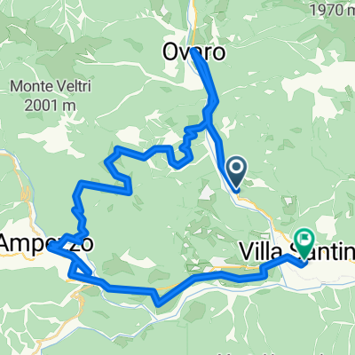
santini - agordo
A cycling route starting in Raveo, Friuli Venezia Giulia, Italy.
Overview
About this route
drei pässe,
am zweiten nur mit mühe auf dem pass nudeln! dann bis agordo kein wirkliches problem. mit dem bus hoch nach falcade ins hotel. 126,5 km - 3410 hm- -:--
- Duration
- 124.7 km
- Distance
- 2,992 m
- Ascent
- 2,828 m
- Descent
- ---
- Avg. speed
- ---
- Max. altitude
Route quality
Waytypes & surfaces along the route
Waytypes
Busy road
114.3 km
(92 %)
Quiet road
5.7 km
(5 %)
Surfaces
Paved
107.8 km
(86 %)
Asphalt
107.7 km
(86 %)
Paved (undefined)
0.2 km
(<1 %)
Undefined
16.9 km
(14 %)
Continue with Bikemap
Use, edit, or download this cycling route
You would like to ride santini - agordo or customize it for your own trip? Here is what you can do with this Bikemap route:
Free features
- Save this route as favorite or in collections
- Copy & plan your own version of this route
- Split it into stages to create a multi-day tour
- Sync your route with Garmin or Wahoo
Premium features
Free trial for 3 days, or one-time payment. More about Bikemap Premium.
- Navigate this route on iOS & Android
- Export a GPX / KML file of this route
- Create your custom printout (try it for free)
- Download this route for offline navigation
Discover more Premium features.
Get Bikemap PremiumFrom our community
Other popular routes starting in Raveo
- ovaro
- Distance
- 74.8 km
- Ascent
- 1,564 m
- Descent
- 1,564 m
- Location
- Raveo, Friuli Venezia Giulia, Italy
- Recording from 31 lug 2016, 1:37 PM
- Distance
- 80.6 km
- Ascent
- 2,187 m
- Descent
- 2,202 m
- Location
- Raveo, Friuli Venezia Giulia, Italy
- Weird long route #1 to Monte Zoncolan
- Distance
- 35.6 km
- Ascent
- 2,342 m
- Descent
- 1,142 m
- Location
- Raveo, Friuli Venezia Giulia, Italy
- Via Doman 4, Raveo a Via Doman 6, Raveo
- Distance
- 12.1 km
- Ascent
- 470 m
- Descent
- 473 m
- Location
- Raveo, Friuli Venezia Giulia, Italy
- Chiassis Trava fine asfalto
- Distance
- 7.6 km
- Ascent
- 823 m
- Descent
- 25 m
- Location
- Raveo, Friuli Venezia Giulia, Italy
- Cima Sappada;Passo de Mauria; Forcella Lavardet
- Distance
- 121.6 km
- Ascent
- 2,564 m
- Descent
- 2,555 m
- Location
- Raveo, Friuli Venezia Giulia, Italy
- Recording from 04 ago 2016, 9:38 PM
- Distance
- 68.5 km
- Ascent
- 1,437 m
- Descent
- 1,435 m
- Location
- Raveo, Friuli Venezia Giulia, Italy
- Colza - Ovaro - Comeglians . Liariis - Raveo - Colza
- Distance
- 32.8 km
- Ascent
- 878 m
- Descent
- 875 m
- Location
- Raveo, Friuli Venezia Giulia, Italy
Open it in the app