

Heidenheim
A cycling route starting in Beimerstetten, Baden-Wurttemberg, Germany.
Overview
About this route
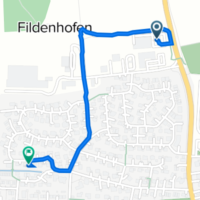
Weg von Beimerstetten über Altheim nach Heidenheim
- -:--
- Duration
- 35.2 km
- Distance
- 243 m
- Ascent
- 345 m
- Descent
- ---
- Avg. speed
- ---
- Max. altitude
Route quality
Waytypes & surfaces along the route
Waytypes
Road
6.3 km
(18 %)
Quiet road
4.2 km
(12 %)
Surfaces
Paved
34.1 km
(97 %)
Asphalt
33.8 km
(96 %)
Paved (undefined)
0.4 km
(1 %)
Undefined
1.1 km
(3 %)
Continue with Bikemap
Use, edit, or download this cycling route
You would like to ride Heidenheim or customize it for your own trip? Here is what you can do with this Bikemap route:
Free features
- Save this route as favorite or in collections
- Copy & plan your own version of this route
- Sync your route with Garmin or Wahoo
Premium features
Free trial for 3 days, or one-time payment. More about Bikemap Premium.
- Navigate this route on iOS & Android
- Export a GPX / KML file of this route
- Create your custom printout (try it for free)
- Download this route for offline navigation
Discover more Premium features.
Get Bikemap PremiumFrom our community
Other popular routes starting in Beimerstetten
 Rundstrecke Illerradweg zum Donauradweg
- Distance
- 60.2 km
- Ascent
- 294 m
- Descent
- 296 m
- Location
- Beimerstetten, Baden-Wurttemberg, Germany
 Day5 Donauwörth
- Distance
- 72.4 km
- Ascent
- 160 m
- Descent
- 237 m
- Location
- Beimerstetten, Baden-Wurttemberg, Germany
 Leichte Fahrt
- Distance
- 5.3 km
- Ascent
- 11 m
- Descent
- 90 m
- Location
- Beimerstetten, Baden-Wurttemberg, Germany
 Netto
Netto- Distance
- 1.9 km
- Ascent
- 24 m
- Descent
- 25 m
- Location
- Beimerstetten, Baden-Wurttemberg, Germany
 Max-Planck-Straße 1, Beimerstetten nach Rübenäckerweg 20, Beimerstetten
- Distance
- 1 km
- Ascent
- 11 m
- Descent
- 10 m
- Location
- Beimerstetten, Baden-Wurttemberg, Germany
 Rundstrecke Ulm- Ju- Blautal- über die Alb - Ulm -Ju
- Distance
- 48.8 km
- Ascent
- 433 m
- Descent
- 432 m
- Location
- Beimerstetten, Baden-Wurttemberg, Germany
 Rübenäckerweg 22, Beimerstetten nach Rübenäckerweg 22, Beimerstetten
- Distance
- 4.5 km
- Ascent
- 40 m
- Descent
- 43 m
- Location
- Beimerstetten, Baden-Wurttemberg, Germany
 Heidenheim
- Distance
- 35.2 km
- Ascent
- 243 m
- Descent
- 345 m
- Location
- Beimerstetten, Baden-Wurttemberg, Germany
Open it in the app