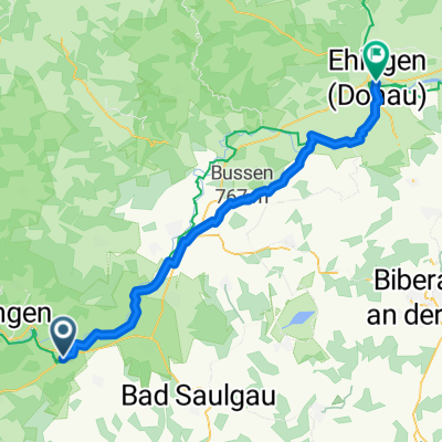
Mittlere Alb-Bussenroute
- 76.1 km
- 1,101 m
- 1,081 m
- Mengen, Baden-Wurttemberg, Germany
A cycling route starting in Mengen, Baden-Wurttemberg, Germany.
Overview
with 15-20 km nothing better came to my mind..
created this 12 years ago
Route quality
Track
6.2 km
(38 %)
Road
4.4 km
(27 %)
Paved
9.6 km
(59 %)
Unpaved
4.9 km
(30 %)
Asphalt
8 km
(49 %)
Unpaved (undefined)
2.4 km
(15 %)
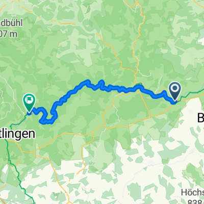
Route highlights
Hütte?
Continue with Bikemap
You would like to ride Montag or customize it for your own trip? Here is what you can do with this Bikemap route:
Free trial for 3 days, or one-time payment. More about Bikemap Premium.
Discover more Premium features.
Get Bikemap PremiumFrom our community
Open it in the app