Widokowy wokół Jeziora Czorsztynskiego
- 72.7 km
- 1,260 m
- 1,258 m
- Szczawnica, Lesser Poland Voivodeship, Poland
A cycling route starting in Szczawnica, Lesser Poland Voivodeship, Poland.
Overview
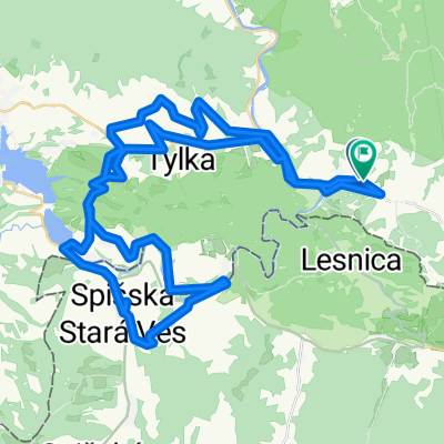
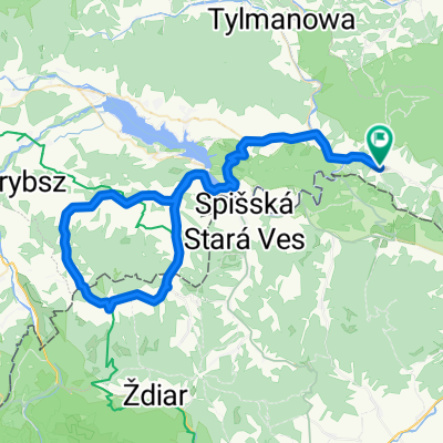
Szczawnica - Leśnica - Lesnianskie sedlo - Czerwony Klasztor - the gorge of Dunajec - Szczawnica
created this 12 years ago
Route quality
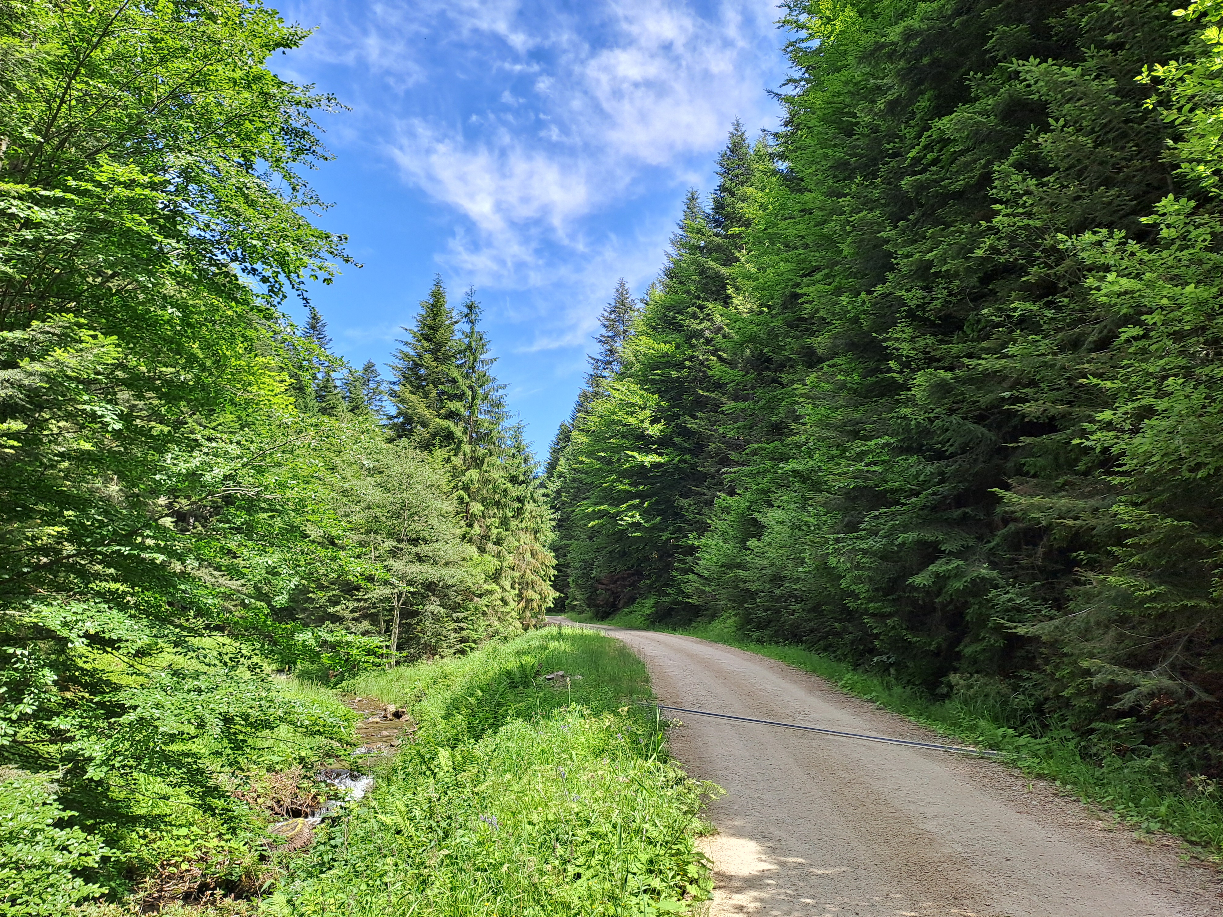
Road
7.9 km
(26 %)
Cycleway
7.3 km
(24 %)
Paved
23.2 km
(76 %)
Asphalt
16.8 km
(55 %)
Concrete
6.4 km
(21 %)
Undefined
7.3 km
(24 %)
Route highlights


Lesnianskie sedlo 715 m n.p.m.


Czerwony Klasztor


Continue with Bikemap
You would like to ride W Pieninach or customize it for your own trip? Here is what you can do with this Bikemap route:
Free trial for 3 days, or one-time payment. More about Bikemap Premium.
Discover more Premium features.
Get Bikemap PremiumFrom our community
Open it in the app