

centroamerica
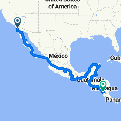
A cycling route starting in Tecate, Baja California, Mexico.
Overview
About this route
from Baja California to the Tapo de Darien
- -:--
- Duration
- 8,481.9 km
- Distance
- 9,730 m
- Ascent
- 10,225 m
- Descent
- ---
- Avg. speed
- ---
- Max. altitude
Continue with Bikemap
Use, edit, or download this cycling route
You would like to ride centroamerica or customize it for your own trip? Here is what you can do with this Bikemap route:
Free features
- Save this route as favorite or in collections
- Copy & plan your own version of this route
- Split it into stages to create a multi-day tour
- Sync your route with Garmin or Wahoo
Premium features
Free trial for 3 days, or one-time payment. More about Bikemap Premium.
- Navigate this route on iOS & Android
- Export a GPX / KML file of this route
- Create your custom printout (try it for free)
- Download this route for offline navigation
Discover more Premium features.
Get Bikemap PremiumFrom our community
Other popular routes starting in Tecate
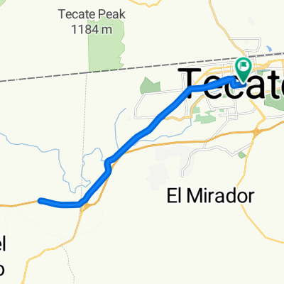
 De Calle Segunda 130–190, Tecate a Calle Segunda 130–190, Tecate
- Distance
- 19.3 km
- Ascent
- 190 m
- Descent
- 191 m
- Location
- Tecate, Baja California, Mexico
 centroamerica
- Distance
- 8,481.9 km
- Ascent
- 9,730 m
- Descent
- 10,225 m
- Location
- Tecate, Baja California, Mexico
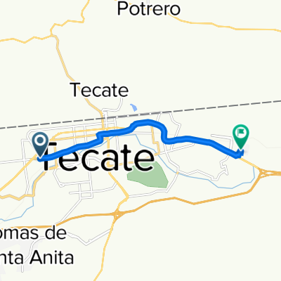
 De Calle Segunda 130–190, Tecate a Calle Segunda 130–190, Tecate
- Distance
- 20 km
- Ascent
- 196 m
- Descent
- 192 m
- Location
- Tecate, Baja California, Mexico
 centroamerica111
- Distance
- 8,492.2 km
- Ascent
- 9,755 m
- Descent
- 10,253 m
- Location
- Tecate, Baja California, Mexico
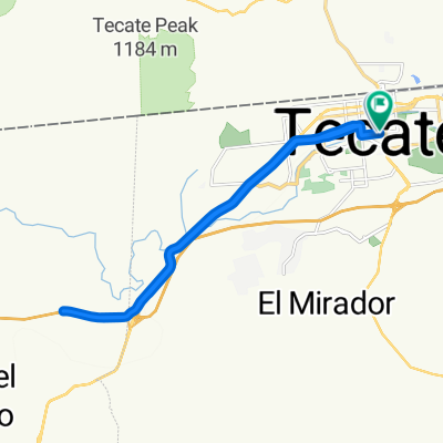
 De Huetamo a Huetamo
- Distance
- 20.2 km
- Ascent
- 200 m
- Descent
- 165 m
- Location
- Tecate, Baja California, Mexico
 Boulevard Defensores de Baja California 1210, Tecate a Calle Málaga 10, Tecate
- Distance
- 6.9 km
- Ascent
- 67 m
- Descent
- 19 m
- Location
- Tecate, Baja California, Mexico
 centroamerica
- Distance
- 9,893.5 km
- Ascent
- 9,632 m
- Descent
- 10,181 m
- Location
- Tecate, Baja California, Mexico
 sensaciones solo Ruta a Huetamo
- Distance
- 20.5 km
- Ascent
- 200 m
- Descent
- 169 m
- Location
- Tecate, Baja California, Mexico
Open it in the app