Vall d'Ayas e Vall di Gressoney
A cycling route starting in Verrès, Aosta Valley, Italy.
Overview
About this route
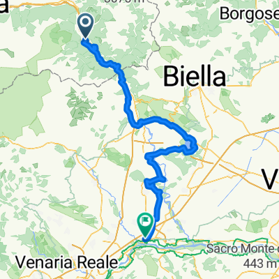
Verres - Champoluc - Colle Bettaforca - Stafal - Gressoney - Gaby - Pont Saint Martin - Verres
- -:--
- Duration
- 94.3 km
- Distance
- 2,267 m
- Ascent
- 2,267 m
- Descent
- ---
- Avg. speed
- ---
- Avg. speed
Route quality
Waytypes & surfaces along the route
Waytypes
Busy road
67 km
(71 %)
Track
15 km
(16 %)
Surfaces
Paved
62.3 km
(66 %)
Unpaved
15.2 km
(16 %)
Asphalt
61.4 km
(65 %)
Ground
11.5 km
(12 %)
Continue with Bikemap
Use, edit, or download this cycling route
You would like to ride Vall d'Ayas e Vall di Gressoney or customize it for your own trip? Here is what you can do with this Bikemap route:
Free features
- Save this route as favorite or in collections
- Copy & plan your own version of this route
- Sync your route with Garmin or Wahoo
Premium features
Free trial for 3 days, or one-time payment. More about Bikemap Premium.
- Navigate this route on iOS & Android
- Export a GPX / KML file of this route
- Create your custom printout (try it for free)
- Download this route for offline navigation
Discover more Premium features.
Get Bikemap PremiumFrom our community
Other popular routes starting in Verrès
- Vall d'Ayas e Vall di Gressoney
- Distance
- 94.3 km
- Ascent
- 2,267 m
- Descent
- 2,267 m
- Location
- Verrès, Aosta Valley, Italy
- Colle Vert Enduro (Verres Aosta)
- Distance
- 21.8 km
- Ascent
- 1,024 m
- Descent
- 1,025 m
- Location
- Verrès, Aosta Valley, Italy
- champoluc antagnod lignod verres
- Distance
- 57.2 km
- Ascent
- 1,371 m
- Descent
- 1,378 m
- Location
- Verrès, Aosta Valley, Italy
- Vall d'Ayas e Vall di Gressoney
- Distance
- 94.3 km
- Ascent
- 2,251 m
- Descent
- 2,251 m
- Location
- Verrès, Aosta Valley, Italy
- Tappa B03 - Da Verres a Roppolo
- Distance
- 61.3 km
- Ascent
- 306 m
- Descent
- 368 m
- Location
- Verrès, Aosta Valley, Italy
- Col d'Arlaz, Col Tsecore e Col de Joux
- Distance
- 61.2 km
- Ascent
- 2,086 m
- Descent
- 2,086 m
- Location
- Verrès, Aosta Valley, Italy
- 2/6) Verrès- CavagliÃ
- Distance
- 62 km
- Ascent
- 648 m
- Descent
- 761 m
- Location
- Verrès, Aosta Valley, Italy
- Zuccore, san pantaleone e Joux
- Distance
- 108.1 km
- Ascent
- 3,543 m
- Descent
- 3,551 m
- Location
- Verrès, Aosta Valley, Italy
Open it in the app