100.YUZYIL/3.
- 88.2 km
- 390 m
- 448 m
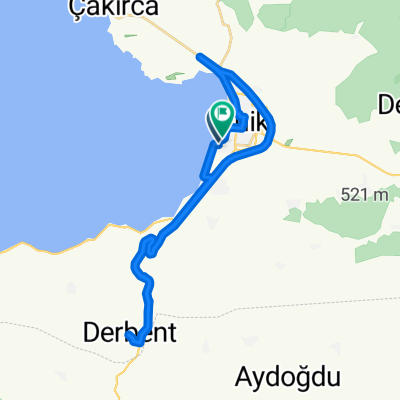
- Nicaea, Bursa Province, Republic of Türkiye
A cycling route starting in Nicaea, Bursa Province, Republic of Türkiye.
Overview
Iznik --- Osmaneli --- Vezirhan --- Bozüyük
created this 12 years ago
Continue with Bikemap
You would like to ride Iznik x Osmaneli x Vezirhan x Bozüyük or customize it for your own trip? Here is what you can do with this Bikemap route:
Free trial for 3 days, or one-time payment. More about Bikemap Premium.
Discover more Premium features.
Get Bikemap PremiumFrom our community
Open it in the app