

Um das Huvenhoopsmoor
A cycling route starting in Gnarrenburg, Lower Saxony, Germany.
Overview
About this route
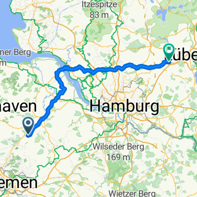
On remote paths around the Huvenhoopsmoor. Start and end of the route: Karlshöfen (sports field). From there: Karlshöfen Airport, Breddorf, through the forest area to Ostereistedt, along the Mill Route/Osterradweg to Ober Ochtenhausen, continuing past Immenheim near the memorial "Lager Sandbostel" to Heinrichtsdorf. From Heinrichsdorf to Augustendorf is the only short stretch without a bike path. From Augustendorf the last segment goes via Glinstedt back to the starting point.
- -:--
- Duration
- 46.4 km
- Distance
- 117 m
- Ascent
- 116 m
- Descent
- ---
- Avg. speed
- ---
- Max. altitude
Route quality
Waytypes & surfaces along the route
Waytypes
Track
18.6 km
(40 %)
Quiet road
15.3 km
(33 %)
Surfaces
Paved
22.3 km
(48 %)
Unpaved
12.1 km
(26 %)
Asphalt
12.5 km
(27 %)
Paved (undefined)
9.8 km
(21 %)
Continue with Bikemap
Use, edit, or download this cycling route
You would like to ride Um das Huvenhoopsmoor or customize it for your own trip? Here is what you can do with this Bikemap route:
Free features
- Save this route as favorite or in collections
- Copy & plan your own version of this route
- Sync your route with Garmin or Wahoo
Premium features
Free trial for 3 days, or one-time payment. More about Bikemap Premium.
- Navigate this route on iOS & Android
- Export a GPX / KML file of this route
- Create your custom printout (try it for free)
- Download this route for offline navigation
Discover more Premium features.
Get Bikemap PremiumFrom our community
Other popular routes starting in Gnarrenburg
 D-Tour 2025-2. Tag end.
- Distance
- 155.9 km
- Ascent
- 2,041 m
- Descent
- 2,031 m
- Location
- Gnarrenburg, Lower Saxony, Germany
 my first route
- Distance
- 30.7 km
- Ascent
- 62 m
- Descent
- 63 m
- Location
- Gnarrenburg, Lower Saxony, Germany
 3 Gnarrenburg - Grünendeich
- Distance
- 71.3 km
- Ascent
- 63 m
- Descent
- 81 m
- Location
- Gnarrenburg, Lower Saxony, Germany
 Route zu Gnarrenburg
- Distance
- 7.6 km
- Ascent
- 17 m
- Descent
- 28 m
- Location
- Gnarrenburg, Lower Saxony, Germany
 Um das Huvenhoopsmoor
- Distance
- 46.5 km
- Ascent
- 106 m
- Descent
- 106 m
- Location
- Gnarrenburg, Lower Saxony, Germany
 Augustendorf 4–6, Gnarrenburg nach Am Kirchendamm 2, Gnarrenburg
- Distance
- 2.2 km
- Ascent
- 0 m
- Descent
- 0 m
- Location
- Gnarrenburg, Lower Saxony, Germany
 Feierabendtour
- Distance
- 12.2 km
- Ascent
- 47 m
- Descent
- 46 m
- Location
- Gnarrenburg, Lower Saxony, Germany
 Rund ums oor
- Distance
- 50.4 km
- Ascent
- 82 m
- Descent
- 85 m
- Location
- Gnarrenburg, Lower Saxony, Germany
Open it in the app