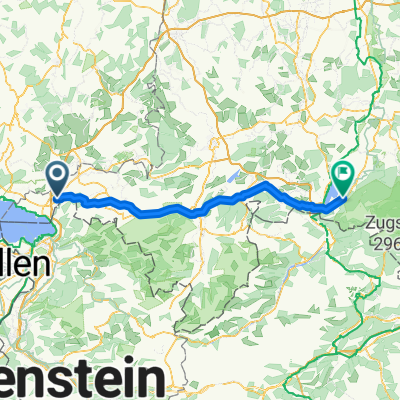

Oberallgäurunde
- 121.4 km
- 1,671 m
- 1,671 m
- Sigmarszell, Bavaria, Germany
A cycling route starting in Sigmarszell, Bavaria, Germany.
Overview
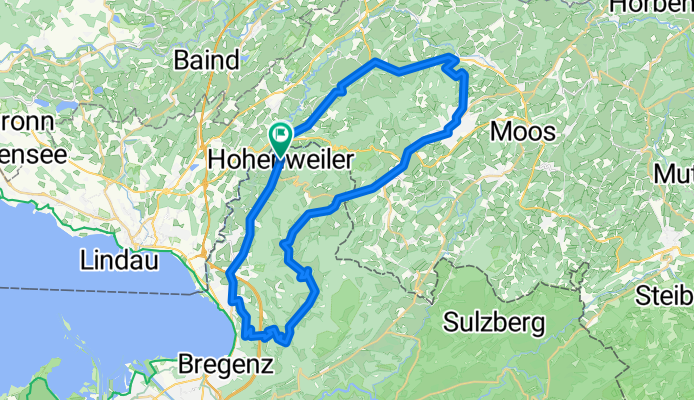
RR-Runde 46km
created this 18 years ago
Route quality
Road
11.2 km
24 %
Quiet road
10.3 km
22 %
Paved
42.1 km
(90 %)
Unpaved
0.5 km
(1 %)
Asphalt
41.2 km
88 %
Paved (undefined)
0.9 km
2 %
Continue with Bikemap
You would like to ride hohenweiler - lindenberg - pfänder or customize it for your own trip? Here is what you can do with this Bikemap route:
Free trial for 3 days, or one-time payment. More about Bikemap Premium.
Discover more Premium features.
Get Bikemap PremiumFrom our community
Open it in the app