

Mellau - Mellenbach - Dürenbergwald
A cycling route starting in Reuthe, Vorarlberg, Austria.
Overview
About this route
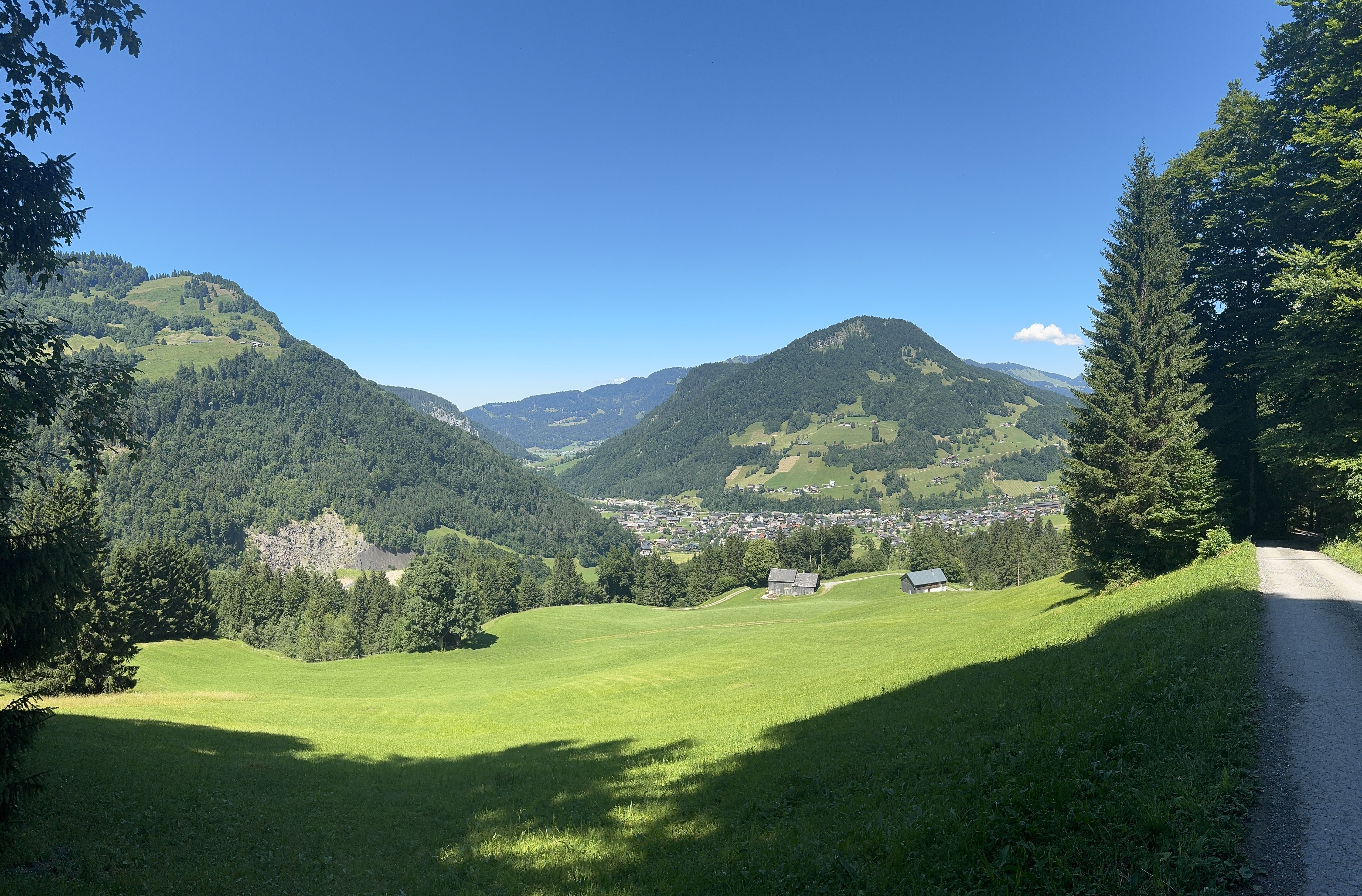
About forests and pastures... Or the other way around. Depending on the taste!
- -:--
- Duration
- 18.1 km
- Distance
- 702 m
- Ascent
- 702 m
- Descent
- ---
- Avg. speed
- ---
- Max. altitude

Route quality
Waytypes & surfaces along the route
Waytypes
Track
16.2 km
(90 %)
Quiet road
1.4 km
(8 %)
Access road
0.4 km
(2 %)
Surfaces
Paved
2.2 km
(12 %)
Unpaved
15.7 km
(87 %)
Gravel
15.2 km
(84 %)
Asphalt
2.2 km
(12 %)
Continue with Bikemap
Use, edit, or download this cycling route
You would like to ride Mellau - Mellenbach - Dürenbergwald or customize it for your own trip? Here is what you can do with this Bikemap route:
Free features
- Save this route as favorite or in collections
- Copy & plan your own version of this route
- Sync your route with Garmin or Wahoo
Premium features
Free trial for 3 days, or one-time payment. More about Bikemap Premium.
- Navigate this route on iOS & Android
- Export a GPX / KML file of this route
- Create your custom printout (try it for free)
- Download this route for offline navigation
Discover more Premium features.
Get Bikemap PremiumFrom our community
Other popular routes starting in Reuthe
 Rund um die Kanisfluh
- Distance
- 42.5 km
- Ascent
- 1,916 m
- Descent
- 1,864 m
- Location
- Reuthe, Vorarlberg, Austria
 Kanisfluhumrundung
- Distance
- 43.7 km
- Ascent
- 1,358 m
- Descent
- 1,358 m
- Location
- Reuthe, Vorarlberg, Austria
 Mellau - Bergbahn - Roßstelle - Dürrenbergwald - Mellau
- Distance
- 19.5 km
- Ascent
- 364 m
- Descent
- 1,062 m
- Location
- Reuthe, Vorarlberg, Austria
 kanisfluh
- Distance
- 41.9 km
- Ascent
- 1,273 m
- Descent
- 1,275 m
- Location
- Reuthe, Vorarlberg, Austria
 Mellau - Furkajoch und zurück
- Distance
- 56.7 km
- Ascent
- 1,113 m
- Descent
- 1,113 m
- Location
- Reuthe, Vorarlberg, Austria
 Melau Bregenz
- Distance
- 46 km
- Ascent
- 814 m
- Descent
- 1,087 m
- Location
- Reuthe, Vorarlberg, Austria
 Mellau | Mellau - Au - Bergkristallhütte - (Annalpe) - Geokoordinaten (Route)
- Distance
- 29.9 km
- Ascent
- 1,387 m
- Descent
- 1,387 m
- Location
- Reuthe, Vorarlberg, Austria
 Platz, Mellau to Platz, Mellau
- Distance
- 18.7 km
- Ascent
- 778 m
- Descent
- 784 m
- Location
- Reuthe, Vorarlberg, Austria
Open it in the app