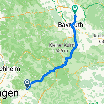


1. Etappe ( Sestri Levante - Vesuvio )
- 6.6 km
- 101 m
- 60 m
- Igensdorf, Bavaria, Germany
A cycling route starting in Igensdorf, Bavaria, Germany.
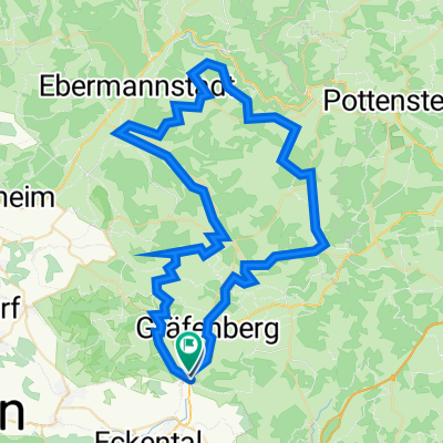
Overview
MTB Tour that follows the Wolfshöhe Marathon
created this 12 years ago
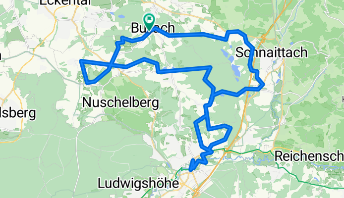
Route quality
Track
22.9 km
(59 %)
Quiet road
7 km
(18 %)
Paved
7 km
(18 %)
Unpaved
22.1 km
(57 %)
Gravel
12.4 km
(32 %)
Asphalt
5.8 km
(15 %)
Continue with Bikemap
You would like to ride Wolfshöher Marathon or customize it for your own trip? Here is what you can do with this Bikemap route:
Free trial for 3 days, or one-time payment. More about Bikemap Premium.
Discover more Premium features.
Get Bikemap PremiumFrom our community
Open it in the app