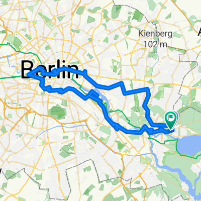
Klutstraße, Berlin nach Klutstraße, Berlin
- 44.1 km
- 234 m
- 234 m
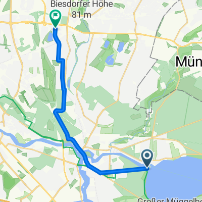
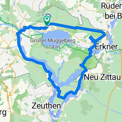
- Friedrichshagen, State of Berlin, Germany
A cycling route starting in Friedrichshagen, State of Berlin, Germany.
Overview
Mit Kopfsteinpflaster versehen.
Route quality
Road
34.9 km
(28 %)
Path
18.7 km
(15 %)
Paved
97.2 km
(78 %)
Unpaved
2.5 km
(2 %)
Asphalt
91 km
(73 %)
Concrete
6.2 km
(5 %)
Route highlights
Treffpunkt S-Bahnhof Friedrichshagen
Continue with Bikemap
You would like to ride "Hell of the East" Paris-Roubaix in Brandenburg or customize it for your own trip? Here is what you can do with this Bikemap route:
Free trial for 3 days, or one-time payment. More about Bikemap Premium.
Discover more Premium features.
Get Bikemap PremiumFrom our community
Open it in the app