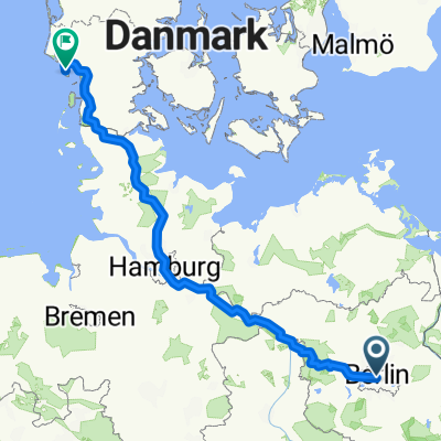
- 68.4 km
- 270 m
- 260 m
- Tiergarten, State of Berlin, Germany
Berlin Wall Trail - Berliner Mauerweg
A cycling route starting in Tiergarten, State of Berlin, Germany.
Overview
About this route
Very nice route along the Berlin wall. Follow the signs "Berliner Mauerweg" from the Brandeburg gate. A lot of woods, lakes, and no cars. Some cobblestone roads. Maybe the south eastern part of the trail was a little boring along the highway but definitively a good bike tour.
- -:--
- Duration
- 165.5 km
- Distance
- 132 m
- Ascent
- 140 m
- Descent
- ---
- Avg. speed
- ---
- Max. altitude
created this 12 years ago
Route quality
Waytypes & surfaces along the route
Waytypes
Path
59.6 km
(36 %)
Quiet road
44.7 km
(27 %)
Surfaces
Paved
117.5 km
(71 %)
Unpaved
28.1 km
(17 %)
Asphalt
112.5 km
(68 %)
Ground
11.6 km
(7 %)
Continue with Bikemap
Use, edit, or download this cycling route
You would like to ride Berlin Wall Trail - Berliner Mauerweg or customize it for your own trip? Here is what you can do with this Bikemap route:
Free features
- Save this route as favorite or in collections
- Copy & plan your own version of this route
- Split it into stages to create a multi-day tour
- Sync your route with Garmin or Wahoo
Premium features
Free trial for 3 days, or one-time payment. More about Bikemap Premium.
- Navigate this route on iOS & Android
- Export a GPX / KML file of this route
- Create your custom printout (try it for free)
- Download this route for offline navigation
Discover more Premium features.
Get Bikemap PremiumFrom our community
Other popular routes starting in Tiergarten
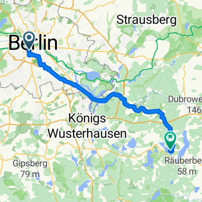
- Am Karlsbad, Berlin nach Storkower Weg, Reichenwalde
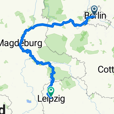
- Von Berlin bis Leipzig
- 364.5 km
- 1,140 m
- 1,041 m
- Tiergarten, State of Berlin, Germany
- Europaradweg R1
- 1,038.4 km
- 671 m
- 704 m
- Tiergarten, State of Berlin, Germany
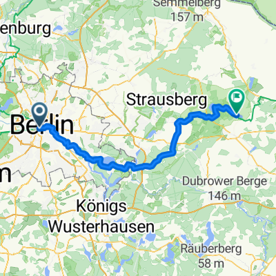
- Tiergarten - Müncheberg
- 79.8 km
- 18 m
- 4 m
- Tiergarten, State of Berlin, Germany
- Wannsee round
- 70.4 km
- 288 m
- 291 m
- Tiergarten, State of Berlin, Germany
- velothon 2009
- 116.3 km
- 254 m
- 247 m
- Tiergarten, State of Berlin, Germany
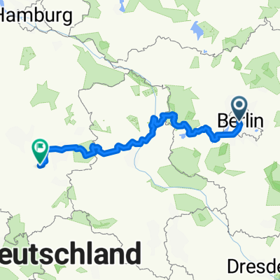
- From Berlin to Beetzsee
- 428.1 km
- 1,720 m
- 1,626 m
- Tiergarten, State of Berlin, Germany
- Fahrradtour
- 668.8 km
- 1,573 m
- 1,601 m
- Tiergarten, State of Berlin, Germany
Open it in the app


