

Nancy Gray Day 1 Takasaki - Kusatsu
A cycling route starting in Takasaki, Gunma, Japan.
Overview
About this route
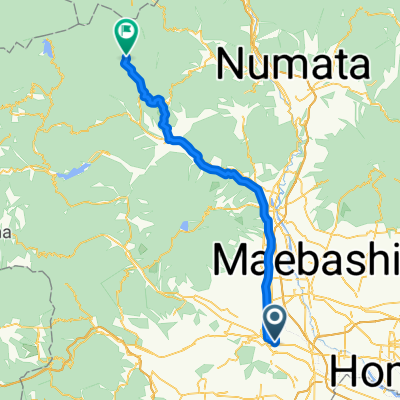
Day 1. Overhill option from Takasaki to Kusatsu Onsen.<br /> <br /> Many optional roads to choose from to make the route longer.
- -:--
- Duration
- 76.2 km
- Distance
- 2,038 m
- Ascent
- 970 m
- Descent
- ---
- Avg. speed
- ---
- Max. altitude
Continue with Bikemap
Use, edit, or download this cycling route
You would like to ride Nancy Gray Day 1 Takasaki - Kusatsu or customize it for your own trip? Here is what you can do with this Bikemap route:
Free features
- Save this route as favorite or in collections
- Copy & plan your own version of this route
- Sync your route with Garmin or Wahoo
Premium features
Free trial for 3 days, or one-time payment. More about Bikemap Premium.
- Navigate this route on iOS & Android
- Export a GPX / KML file of this route
- Create your custom printout (try it for free)
- Download this route for offline navigation
Discover more Premium features.
Get Bikemap PremiumFrom our community
Other popular routes starting in Takasaki
 2013/10/05高崎~四万
- Distance
- 58.9 km
- Ascent
- 991 m
- Descent
- 316 m
- Location
- Takasaki, Gunma, Japan
 Nakasendo_Road_B
- Distance
- 460.7 km
- Ascent
- 7,741 m
- Descent
- 7,800 m
- Location
- Takasaki, Gunma, Japan
 2294-30, Yamanamachi, Takasaki to 2294-15, Yamanamachi, Takasaki
- Distance
- 12.1 km
- Ascent
- 95 m
- Descent
- 88 m
- Location
- Takasaki, Gunma, Japan
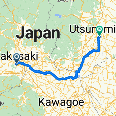 八島町, 高崎市へ川向町, 宇都宮市
- Distance
- 135.6 km
- Ascent
- 356 m
- Descent
- 337 m
- Location
- Takasaki, Gunma, Japan
 1142−1 まで甘楽町
- Distance
- 26.1 km
- Ascent
- 431 m
- Descent
- 274 m
- Location
- Takasaki, Gunma, Japan
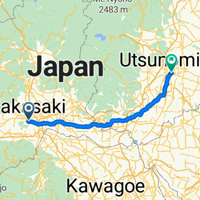 八島町, 高崎市へ川向町, 宇都宮市
- Distance
- 109.4 km
- Ascent
- 469 m
- Descent
- 452 m
- Location
- Takasaki, Gunma, Japan
 Nancy Gray Day 1 Takasaki - Kusatsu
- Distance
- 76.2 km
- Ascent
- 2,038 m
- Descent
- 970 m
- Location
- Takasaki, Gunma, Japan
 767−2, 高崎市 まで渋川市
- Distance
- 18.7 km
- Ascent
- 141 m
- Descent
- 39 m
- Location
- Takasaki, Gunma, Japan
Open it in the app