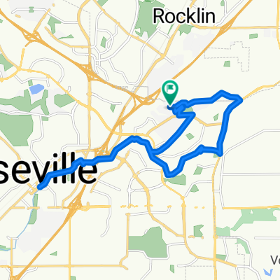
1st Ride
- 7.8 km
- 90 m
- 89 m
- Rocklin, California, United States
A cycling route starting in Rocklin, California, United States.
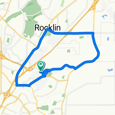
Overview
From Rocklin through Lincoln, Newcastle, Auburn, back through Newcastle, Penryn, Loomis, & Rocklin
created this 16 years ago
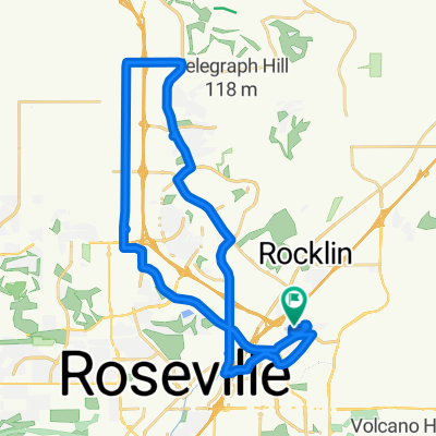
Route quality
Road
15.8 km
(19 %)
Quiet road
15.8 km
(19 %)
Paved
9.1 km
(11 %)
Asphalt
9.1 km
(11 %)
Undefined
73.9 km
(89 %)
Continue with Bikemap
You would like to ride Rocklin to Auburn Loop or customize it for your own trip? Here is what you can do with this Bikemap route:
Free trial for 3 days, or one-time payment. More about Bikemap Premium.
Discover more Premium features.
Get Bikemap PremiumFrom our community
Open it in the app