

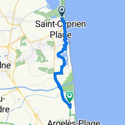
St Cyp - Caixas
A cycling route starting in Saint-Cyprien-Plage, Occitanie, France.
Overview
About this route
Ausflug von St.Cyp in die ersten Ausläufer der Pyreneen
- -:--
- Duration
- 91.8 km
- Distance
- 600 m
- Ascent
- 601 m
- Descent
- ---
- Avg. speed
- ---
- Max. altitude
Route quality
Waytypes & surfaces along the route
Waytypes
Road
35.8 km
(39 %)
Quiet road
6.4 km
(7 %)
Surfaces
Paved
23 km
(25 %)
Asphalt
22 km
(24 %)
Paved (undefined)
0.9 km
(1 %)
Undefined
68.9 km
(75 %)
Continue with Bikemap
Use, edit, or download this cycling route
You would like to ride St Cyp - Caixas or customize it for your own trip? Here is what you can do with this Bikemap route:
Free features
- Save this route as favorite or in collections
- Copy & plan your own version of this route
- Split it into stages to create a multi-day tour
- Sync your route with Garmin or Wahoo
Premium features
Free trial for 3 days, or one-time payment. More about Bikemap Premium.
- Navigate this route on iOS & Android
- Export a GPX / KML file of this route
- Create your custom printout (try it for free)
- Download this route for offline navigation
Discover more Premium features.
Get Bikemap PremiumFrom our community
Other popular routes starting in Saint-Cyprien-Plage
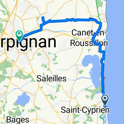
 St Cyp-Argeles-Boulou
- Distance
- 54.3 km
- Ascent
- 118 m
- Descent
- 120 m
- Location
- Saint-Cyprien-Plage, Occitanie, France
 pireneler
- Distance
- 1,681.1 km
- Ascent
- 21,086 m
- Descent
- 20,985 m
- Location
- Saint-Cyprien-Plage, Occitanie, France
 500F Boulevard François Desnoyer, Saint-Cyprien naar 50 Camping la marende, Argelès-sur-Mer
- Distance
- 10.5 km
- Ascent
- 16 m
- Descent
- 16 m
- Location
- Saint-Cyprien-Plage, Occitanie, France
 St. Cyprien 1
- Distance
- 73.1 km
- Ascent
- 201 m
- Descent
- 198 m
- Location
- Saint-Cyprien-Plage, Occitanie, France
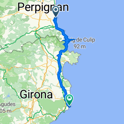
 PERPIGNAN - SAN SEBASTIAN
- Distance
- 792.4 km
- Ascent
- 16,357 m
- Descent
- 16,357 m
- Location
- Saint-Cyprien-Plage, Occitanie, France
 Barcelona 7
- Distance
- 70.6 km
- Ascent
- 219 m
- Descent
- 213 m
- Location
- Saint-Cyprien-Plage, Occitanie, France
 8.TVN Calella2023 Freitag 26.05.
- Distance
- 125.7 km
- Ascent
- 1,470 m
- Descent
- 1,434 m
- Location
- Saint-Cyprien-Plage, Occitanie, France
 Boulevard François Desnoyer, Saint-Cyprien nach Place de la Loge, Perpignan
- Distance
- 29.5 km
- Ascent
- 55 m
- Descent
- 17 m
- Location
- Saint-Cyprien-Plage, Occitanie, France
Open it in the app