

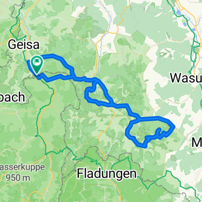
Von Tann zur Hohen Geba
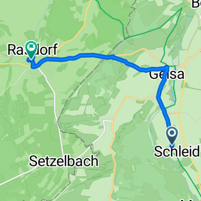
A cycling route starting in Schleid, Thuringia, Germany.
Overview
About this route
0
noch nicht gefahren
- -:--
- Duration
- 81.6 km
- Distance
- 1,332 m
- Ascent
- 1,333 m
- Descent
- ---
- Avg. speed
- ---
- Max. altitude
Harald Lohr
created this 12 years ago
Route quality
Waytypes & surfaces along the route
Waytypes
Road
36.7 km
45 %
Quiet road
14.7 km
18 %
Surfaces
Paved
43.3 km
(53 %)
Unpaved
6.5 km
(8 %)
Asphalt
41.6 km
51 %
Gravel
5.7 km
7 %
Continue with Bikemap
Use, edit, or download this cycling route
You would like to ride Von Tann zur Hohen Geba or customize it for your own trip? Here is what you can do with this Bikemap route:
Free features
- Save this route as favorite or in collections
- Copy & plan your own version of this route
- Split it into stages to create a multi-day tour
- Sync your route with Garmin or Wahoo
Premium features
Free trial for 3 days, or one-time payment. More about Bikemap Premium.
- Navigate this route on iOS & Android
- Export a GPX / KML file of this route
- Create your custom printout (try it for free)
- Download this route for offline navigation
Discover more Premium features.
Get Bikemap PremiumFrom our community
Other popular routes starting in Schleid


Open it in the app