Schulze-Dorn
- 11.2 km
- 274 m
- 132 m
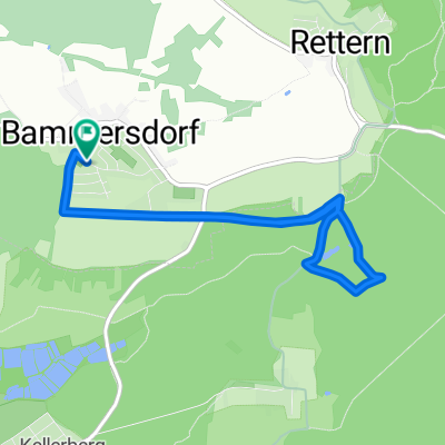
- Weilersbach, Bavaria, Germany
A cycling route starting in Weilersbach, Bavaria, Germany.
Overview
Scenic relatively easy MTB tour with a steep ascent to Feuerstein Airport
created this 12 years ago
Route quality
Track
16.1 km
(69 %)
Road
2.6 km
(11 %)
Paved
8.2 km
(35 %)
Unpaved
12.6 km
(54 %)
Asphalt
8.2 km
(35 %)
Gravel
7.2 km
(31 %)
Continue with Bikemap
You would like to ride Eggolsheim_FlugplatzFeuerstein_RetternerKanzel or customize it for your own trip? Here is what you can do with this Bikemap route:
Free trial for 3 days, or one-time payment. More about Bikemap Premium.
Discover more Premium features.
Get Bikemap PremiumFrom our community
Open it in the app