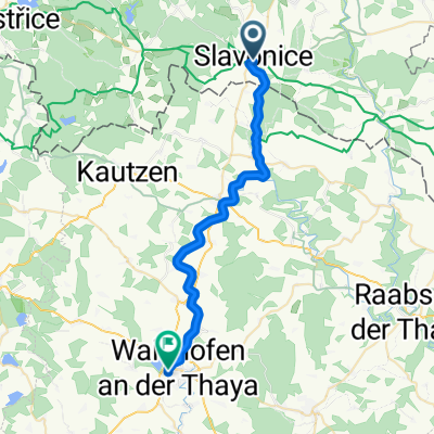
MORAVA-11.den-25.7.13
A cycling route starting in Slavonice, Jihočeský kraj, Czechia.
Overview
About this route
Kopec Šibeník (sheep) - Slavonice - Old Town under Landštejn - Podlesí - Konrac - Monastery - Albeř - Nová Bystřice - Blanko - Lesní hotel Peršlák - Northernmost point of Austria - bridge to Austria - Rottal - Josefsthal - Schlag - border - Mošťěnice - Chlum near Třeboně - Hamr - Majdalena - Cep - Hrachoviště - Kojákovice
- -:--
- Duration
- 63.1 km
- Distance
- 431 m
- Ascent
- 486 m
- Descent
- ---
- Avg. speed
- ---
- Max. altitude
Route quality
Waytypes & surfaces along the route
Waytypes
Road
21.5 km
(34 %)
Quiet road
10.1 km
(16 %)
Surfaces
Paved
24 km
(38 %)
Unpaved
7.6 km
(12 %)
Asphalt
20.2 km
(32 %)
Paved (undefined)
3.8 km
(6 %)
Route highlights
Points of interest along the route
Point of interest after 0 km
10.noc
Point of interest after 63.1 km
11.noc
Continue with Bikemap
Use, edit, or download this cycling route
You would like to ride MORAVA-11.den-25.7.13 or customize it for your own trip? Here is what you can do with this Bikemap route:
Free features
- Save this route as favorite or in collections
- Copy & plan your own version of this route
- Sync your route with Garmin or Wahoo
Premium features
Free trial for 3 days, or one-time payment. More about Bikemap Premium.
- Navigate this route on iOS & Android
- Export a GPX / KML file of this route
- Create your custom printout (try it for free)
- Download this route for offline navigation
Discover more Premium features.
Get Bikemap PremiumFrom our community
Other popular routes starting in Slavonice
- Greenways Praha - Vídeň IV.
- Distance
- 149.6 km
- Ascent
- 565 m
- Descent
- 829 m
- Location
- Slavonice, Jihočeský kraj, Czechia
- Prague - Brno, Euro Velo No 7, 13, 9 and 4! Etapp 3
- Distance
- 75.9 km
- Ascent
- 937 m
- Descent
- 1,144 m
- Location
- Slavonice, Jihočeský kraj, Czechia
- PB3
- Distance
- 127.5 km
- Ascent
- 533 m
- Descent
- 869 m
- Location
- Slavonice, Jihočeský kraj, Czechia
- MORAVA-11.den-25.7.13
- Distance
- 63.1 km
- Ascent
- 431 m
- Descent
- 486 m
- Location
- Slavonice, Jihočeský kraj, Czechia
- Českou Kanadou 1/2 dne
- Distance
- 50 km
- Ascent
- 641 m
- Descent
- 633 m
- Location
- Slavonice, Jihočeský kraj, Czechia
- Slavonice - Landštejn - Stálkov - Slavonice
- Distance
- 30.3 km
- Ascent
- 413 m
- Descent
- 417 m
- Location
- Slavonice, Jihočeský kraj, Czechia
- MTB Landštejn 2011
- Distance
- 55.3 km
- Ascent
- 580 m
- Descent
- 576 m
- Location
- Slavonice, Jihočeský kraj, Czechia
- Slavonice - Heidenreichstein - Litschau - Nová Bystřice - Slavonice
- Distance
- 85.9 km
- Ascent
- 605 m
- Descent
- 611 m
- Location
- Slavonice, Jihočeský kraj, Czechia
Open it in the app