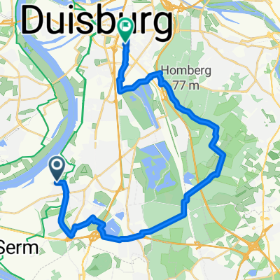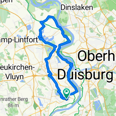
Radeln für die Seele. Rauf am Rhein.
- 55.4 km
- 131 m
- 133 m
- Hochfeld, North Rhine-Westphalia, Germany
A cycling route starting in Hochfeld, North Rhine-Westphalia, Germany.
Overview
Route quality
Quiet road
14.5 km
(66 %)
Road
1.8 km
(8 %)
Paved
14.5 km
(66 %)
Unpaved
0.7 km
(3 %)
Asphalt
14.5 km
(66 %)
Gravel
0.7 km
(3 %)
Undefined
6.8 km
(31 %)
Route highlights
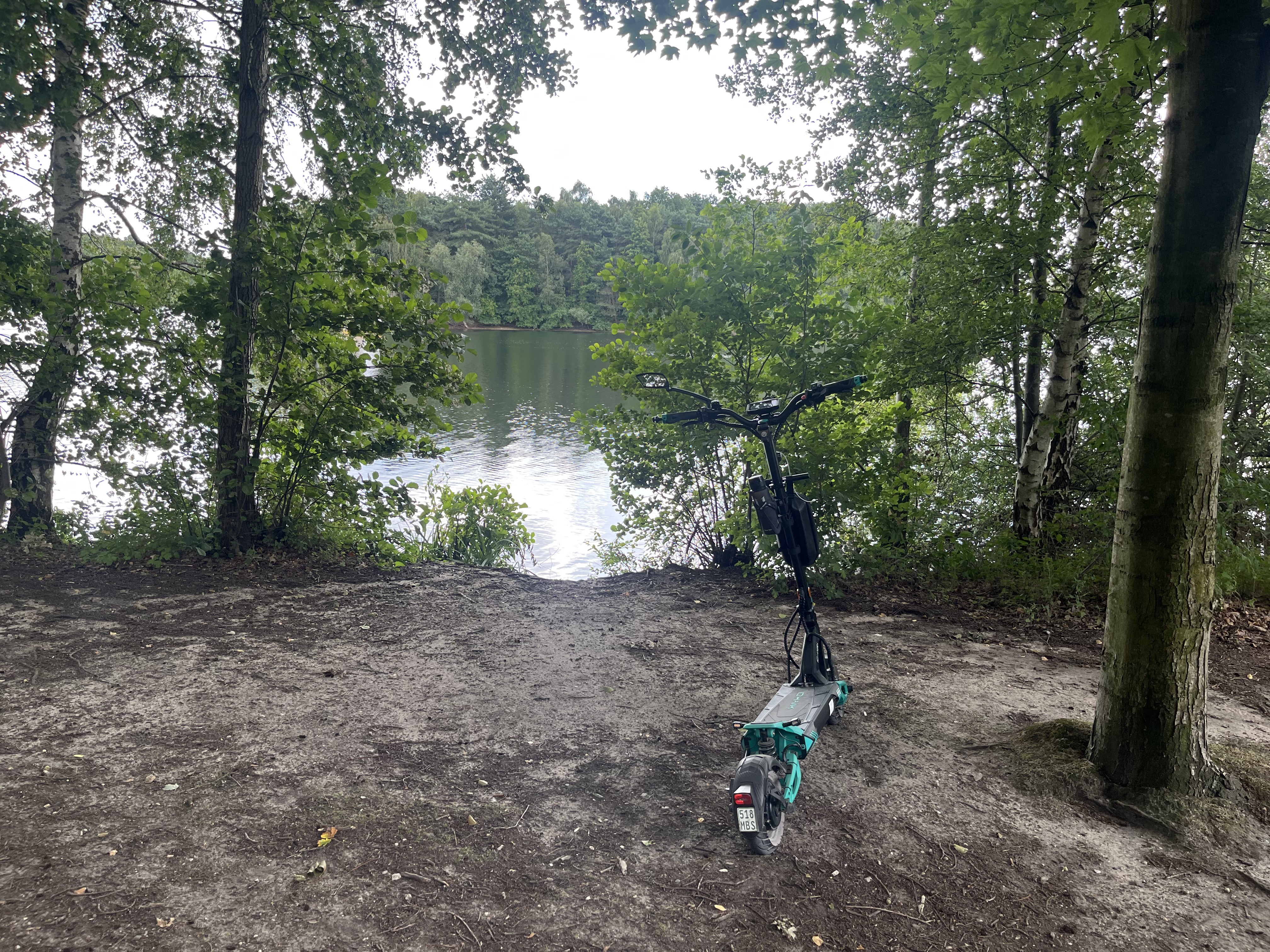
Brettsegler Rheinhausen Töppersee
Continue with Bikemap
You would like to ride Nauenweg - Töppersee or customize it for your own trip? Here is what you can do with this Bikemap route:
Free trial for 3 days, or one-time payment. More about Bikemap Premium.
Discover more Premium features.
Get Bikemap PremiumFrom our community
Open it in the app