

Scheltenpass-Passwang Plus
A cycling route starting in Oensingen, Canton of Solothurn, Switzerland.
Overview
About this route
2 Pass Tour over Ederswiler
- -:--
- Duration
- 115.4 km
- Distance
- 1,884 m
- Ascent
- 1,858 m
- Descent
- ---
- Avg. speed
- ---
- Max. altitude
Route quality
Waytypes & surfaces along the route
Waytypes
Road
23.1 km
(20 %)
Quiet road
5.8 km
(5 %)
Surfaces
Paved
43.8 km
(38 %)
Asphalt
43.8 km
(38 %)
Undefined
71.5 km
(62 %)
Continue with Bikemap
Use, edit, or download this cycling route
You would like to ride Scheltenpass-Passwang Plus or customize it for your own trip? Here is what you can do with this Bikemap route:
Free features
- Save this route as favorite or in collections
- Copy & plan your own version of this route
- Split it into stages to create a multi-day tour
- Sync your route with Garmin or Wahoo
Premium features
Free trial for 3 days, or one-time payment. More about Bikemap Premium.
- Navigate this route on iOS & Android
- Export a GPX / KML file of this route
- Create your custom printout (try it for free)
- Download this route for offline navigation
Discover more Premium features.
Get Bikemap PremiumFrom our community
Other popular routes starting in Oensingen
 Roggen
- Distance
- 39.9 km
- Ascent
- 1,193 m
- Descent
- 1,271 m
- Location
- Oensingen, Canton of Solothurn, Switzerland
 Sur la Scheulte
- Distance
- 44.9 km
- Ascent
- 1,711 m
- Descent
- 883 m
- Location
- Oensingen, Canton of Solothurn, Switzerland
 Oensingen Allerheiligenberg
- Distance
- 37.6 km
- Ascent
- 817 m
- Descent
- 814 m
- Location
- Oensingen, Canton of Solothurn, Switzerland
 Tag1 Oensingen-Schluchsee
- Distance
- 111.2 km
- Ascent
- 879 m
- Descent
- 340 m
- Location
- Oensingen, Canton of Solothurn, Switzerland
 Oensingen via Wolfisberg,Rumisberg, Oberbipp, Niederbipp retour zu Oensingen
- Distance
- 14.3 km
- Ascent
- 294 m
- Descent
- 295 m
- Location
- Oensingen, Canton of Solothurn, Switzerland
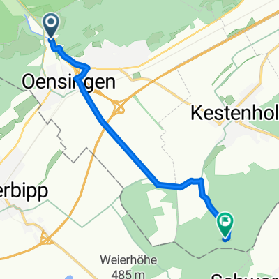
 Von Oensingen bis Kestenholz
- Distance
- 6.7 km
- Ascent
- 59 m
- Descent
- 60 m
- Location
- Oensingen, Canton of Solothurn, Switzerland
 Jurasüdfuss up'n'down
- Distance
- 51.3 km
- Ascent
- 1,803 m
- Descent
- 1,879 m
- Location
- Oensingen, Canton of Solothurn, Switzerland
 Von Oensingen bis Kestenholz
- Distance
- 6.6 km
- Ascent
- 60 m
- Descent
- 60 m
- Location
- Oensingen, Canton of Solothurn, Switzerland
Open it in the app