

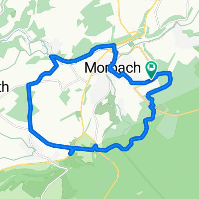
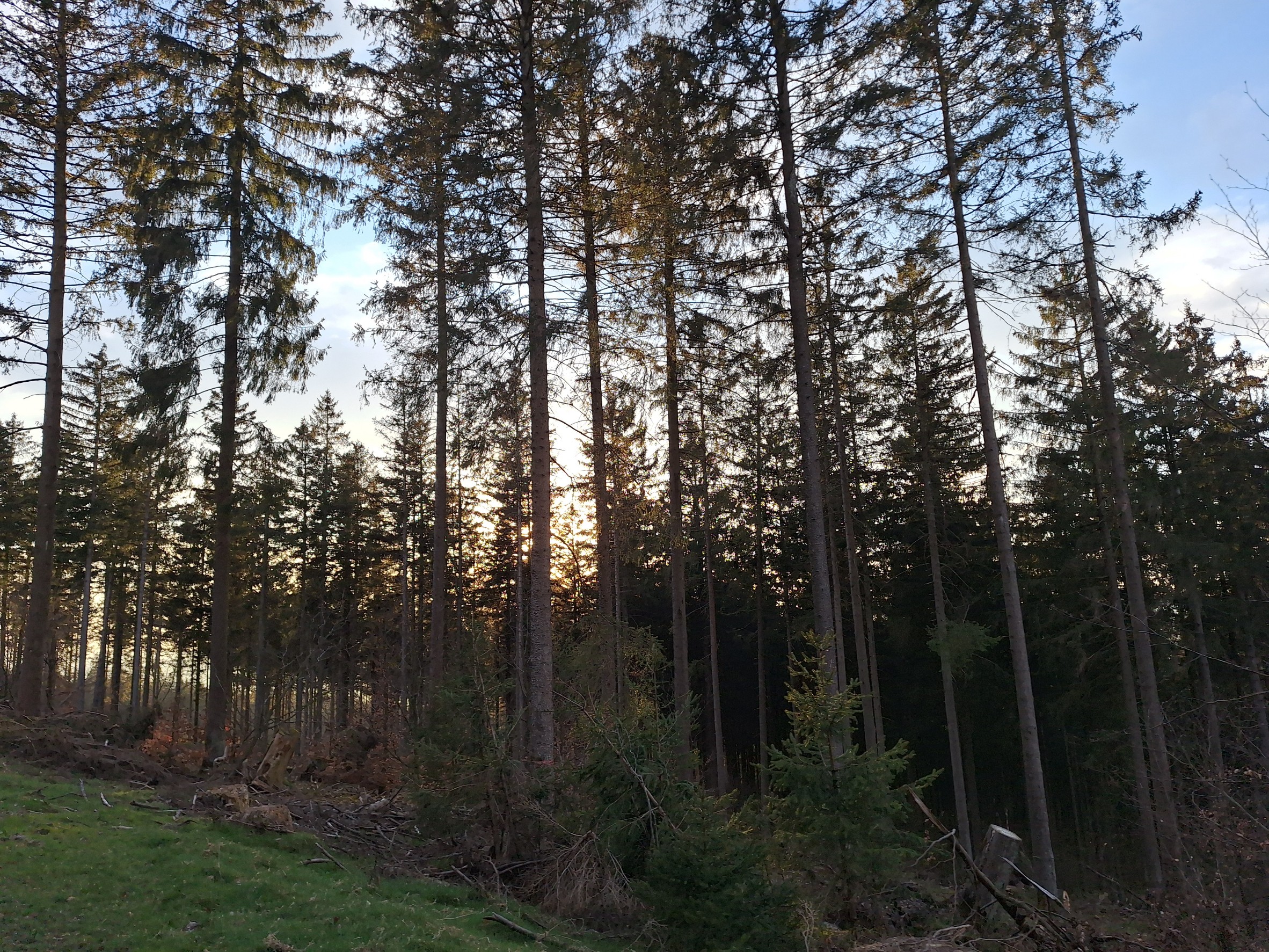
Erbeskopf über Dhronecken
A cycling route starting in Morbach, Rhineland-Palatinate, Germany.
Overview
About this route
<p>Bdhron - Morbach - Hoxel - Deuselbach - Bäsch - Dhronecken - Erbeskopf - Allenbach - Wirschweiler - Bdhron</p>
Translated, show original (German)- -:--
- Duration
- 60.7 km
- Distance
- 1,011 m
- Ascent
- 1,011 m
- Descent
- ---
- Avg. speed
- ---
- Max. altitude
Route quality
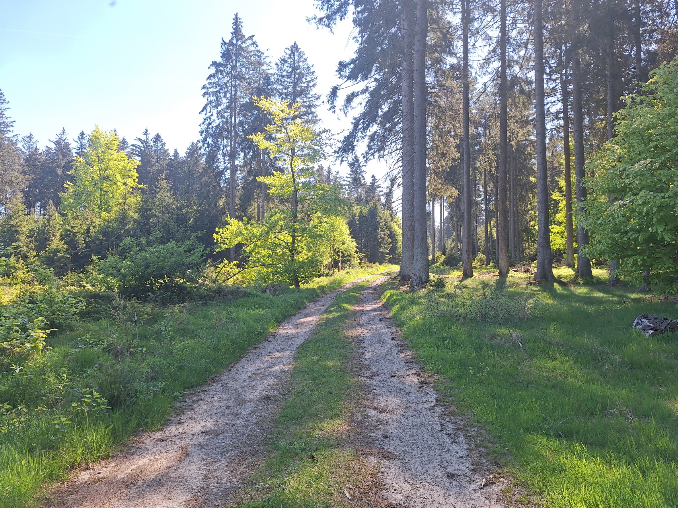
Waytypes & surfaces along the route
Waytypes
Track
17.6 km
(29 %)
Road
13.4 km
(22 %)
Surfaces
Paved
54.6 km
(90 %)
Unpaved
2.4 km
(4 %)
Asphalt
52.8 km
(87 %)
Paved (undefined)
1.8 km
(3 %)
Continue with Bikemap
Use, edit, or download this cycling route
You would like to ride Erbeskopf über Dhronecken or customize it for your own trip? Here is what you can do with this Bikemap route:
Free features
- Save this route as favorite or in collections
- Copy & plan your own version of this route
- Sync your route with Garmin or Wahoo
Premium features
Free trial for 3 days, or one-time payment. More about Bikemap Premium.
- Navigate this route on iOS & Android
- Export a GPX / KML file of this route
- Create your custom printout (try it for free)
- Download this route for offline navigation
Discover more Premium features.
Get Bikemap PremiumFrom our community
Other popular routes starting in Morbach
 Ortelsbruch-Rapperath Runde 🚵♂️
- Distance
- 13.6 km
- Ascent
- 349 m
- Descent
- 378 m
- Location
- Morbach, Rhineland-Palatinate, Germany
 Mountainbike-Tour zwischen Idarkopf & Erbeskopf
- Distance
- 36 km
- Ascent
- 489 m
- Descent
- 520 m
- Location
- Morbach, Rhineland-Palatinate, Germany
 B-TV-V-G-B
- Distance
- 38.1 km
- Ascent
- 591 m
- Descent
- 591 m
- Location
- Morbach, Rhineland-Palatinate, Germany
 Keltentrail MTB
- Distance
- 26 km
- Ascent
- 435 m
- Descent
- 461 m
- Location
- Morbach, Rhineland-Palatinate, Germany
 Erbeskopf ⛰️ MTB-Tour
- Distance
- 30 km
- Ascent
- 717 m
- Descent
- 716 m
- Location
- Morbach, Rhineland-Palatinate, Germany
 Runde über Kahlheid ⛰️
- Distance
- 26.7 km
- Ascent
- 378 m
- Descent
- 411 m
- Location
- Morbach, Rhineland-Palatinate, Germany
 Morbach nach Sohren
- Distance
- 26.8 km
- Ascent
- 330 m
- Descent
- 374 m
- Location
- Morbach, Rhineland-Palatinate, Germany
 Wald Berg&Tal ⛰️
- Distance
- 18.9 km
- Ascent
- 281 m
- Descent
- 320 m
- Location
- Morbach, Rhineland-Palatinate, Germany
Open it in the app