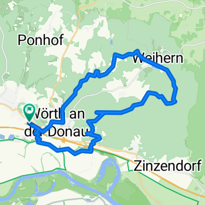
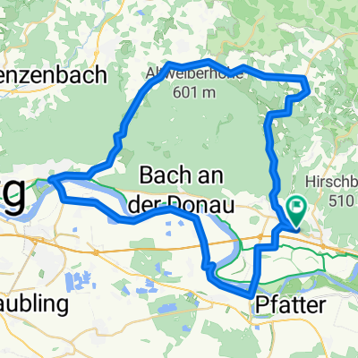
Donaustaufrunde
- 49.4 km
- 108 m
- 96 m
- Wörth an der Donau, Bavaria, Germany
A cycling route starting in Wörth an der Donau, Bavaria, Germany.
Overview
Forest trails washed out by rain, difficult to ride, especially steep and challenging descents on loose gravel. Along the way, beautiful views of the Danube Valley.
created this 12 years ago
Route quality
Track
22 km
(47 %)
Quiet road
10.3 km
(22 %)
Paved
23 km
(49 %)
Unpaved
20.6 km
(44 %)
Asphalt
23 km
(49 %)
Gravel
10.8 km
(23 %)
Continue with Bikemap
You would like to ride Büscherl am 31.07.2013 or customize it for your own trip? Here is what you can do with this Bikemap route:
Free trial for 3 days, or one-time payment. More about Bikemap Premium.
Discover more Premium features.
Get Bikemap PremiumFrom our community
Open it in the app