Přejezd Německa 27.7.2016
- 138.8 km
- 174 m
- 76 m
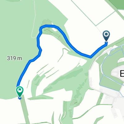
- Eußenheim, Bavaria, Germany
A cycling route starting in Eußenheim, Bavaria, Germany.
Overview
Round tour on the Wernradweg to the Main and back into the Wern valley over Saupurzel (past the gliding airfield).
created this 12 years ago
Continue with Bikemap
You would like to ride Radtour Eussenheim Wernfeld Karlstadt Eussenheim or customize it for your own trip? Here is what you can do with this Bikemap route:
Free trial for 3 days, or one-time payment. More about Bikemap Premium.
Discover more Premium features.
Get Bikemap PremiumFrom our community
Open it in the app