

The Ladywell Way - Motherwell to Forth Road Bridge
A cycling route starting in Motherwell, Scotland, United Kingdom.
Overview
About this route
Great pilgrimage route from Motherwell to Forth Road Bridge and then on to St Andrews About 60 kilometres starting with quiet roads leading from Mothewell town centre and then out into the countryside onto bleak moorland paths, river tracks, and canals footpaths. Historic gems like William Wallace's cave, Abercorn church and Hopetoun House along the way. For detailed route descriptions see The Ladywell Way - Motherwell to Hillend The Ladywell Way - Hillend to Avonbridge The Ladywell Way – Avonbridge to Linlithgow The Ladywell Way - Linlithgow to Forth Road Bridge Part of The Way of St Andrews - For other routes see http://www.thewayofstandrews.com
- -:--
- Duration
- 57.1 km
- Distance
- 312 m
- Ascent
- 371 m
- Descent
- ---
- Avg. speed
- ---
- Max. altitude

Route highlights
Points of interest along the route

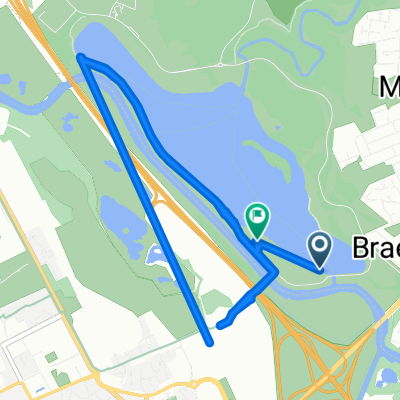
Point of interest after 0.2 km
The Ladywell.A well of great antiquity associated with miracles and described in the nineteenth century as 'An ordinary well about 10ft deep, partly covered by flagstones placed over it'. “Motherwell' is probably an earlier alternative name for the well itself.

Point of interest after 2.8 km
Carfin Grotto. This shrine, in emulation of the famous grotto at Lourdes, was started in the 1920s and built by local parishioners and coal miners out of work during the 1921 Coal Miners' Strike. The parish priest felt the need to keep these workers occupied to minimise the effects of unemployment on their morale.

Point of interest after 27.7 km
Joins River Avon Heritage Trail
Point of interest after 34.1 km
Leaves Avon Heritage Trail

Point of interest after 40 km
Union Canal. This canal, running from Falkirk to Edinburgh, was constructed in the early nineteenth century to bring minerals, especially coal, to Edinburgh
Continue with Bikemap
Use, edit, or download this cycling route
You would like to ride The Ladywell Way - Motherwell to Forth Road Bridge or customize it for your own trip? Here is what you can do with this Bikemap route:
Free features
- Save this route as favorite or in collections
- Copy & plan your own version of this route
- Sync your route with Garmin or Wahoo
Premium features
Free trial for 3 days, or one-time payment. More about Bikemap Premium.
- Navigate this route on iOS & Android
- Export a GPX / KML file of this route
- Create your custom printout (try it for free)
- Download this route for offline navigation
Discover more Premium features.
Get Bikemap PremiumFrom our community
Other popular routes starting in Motherwell
 Recovered Route
- Distance
- 11 km
- Ascent
- 211 m
- Descent
- 223 m
- Location
- Motherwell, Scotland, United Kingdom
 Watling Street
- Distance
- 13.1 km
- Ascent
- 104 m
- Descent
- 104 m
- Location
- Motherwell, Scotland, United Kingdom
 Hamilton Road 366, Bellshill to Unnamed Road, Bellshill
- Distance
- 10.2 km
- Ascent
- 41 m
- Descent
- 41 m
- Location
- Motherwell, Scotland, United Kingdom
 North-Holytown-The Craig- Strathy-Home
- Distance
- 21.2 km
- Ascent
- 151 m
- Descent
- 151 m
- Location
- Motherwell, Scotland, United Kingdom
 North Lodge Avenue 5 to Clyde Valley Avenue 1
- Distance
- 0.1 km
- Ascent
- 0 m
- Descent
- 0 m
- Location
- Motherwell, Scotland, United Kingdom
 The Ladywell Way - Motherwell to Hillend Reservoir
- Distance
- 17.3 km
- Ascent
- 268 m
- Descent
- 147 m
- Location
- Motherwell, Scotland, United Kingdom
 The Ladywell Way - Motherwell to Hillend Reservoir
- Distance
- 33 km
- Ascent
- 340 m
- Descent
- 339 m
- Location
- Motherwell, Scotland, United Kingdom
 Dalriada Crescent 156 to Forbes Drive 9
- Distance
- 4 km
- Ascent
- 214 m
- Descent
- 209 m
- Location
- Motherwell, Scotland, United Kingdom
Open it in the app