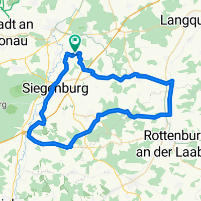
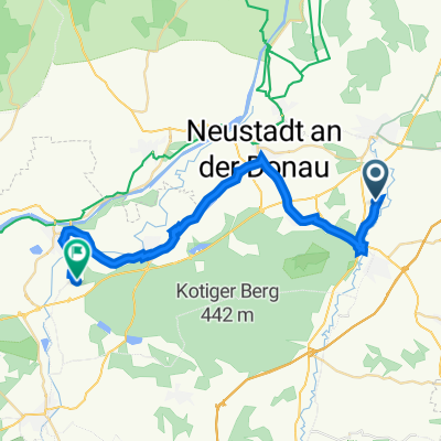
Eining-Kelheim
A cycling route starting in Biburg, Bavaria, Germany.
Overview
About this route
01.08.13 16:39
- -:--
- Duration
- 48.5 km
- Distance
- 193 m
- Ascent
- 193 m
- Descent
- ---
- Avg. speed
- ---
- Avg. speed
Route quality
Waytypes & surfaces along the route
Waytypes
Track
20.2 km
(42 %)
Quiet road
9.9 km
(20 %)
Surfaces
Paved
21.7 km
(45 %)
Unpaved
15.6 km
(32 %)
Asphalt
21.2 km
(44 %)
Gravel
13.7 km
(28 %)
Continue with Bikemap
Use, edit, or download this cycling route
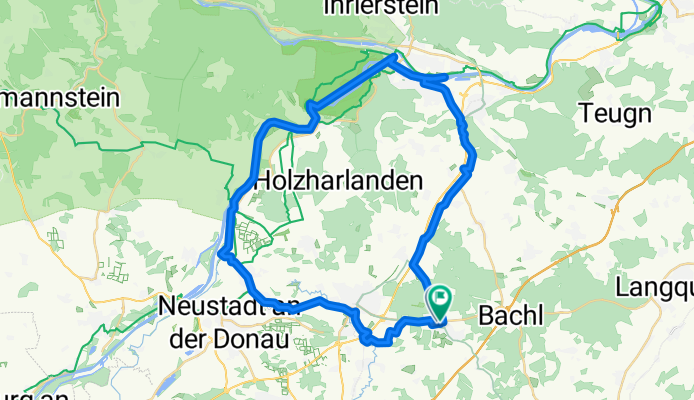
You would like to ride Eining-Kelheim or customize it for your own trip? Here is what you can do with this Bikemap route:
Free features
- Save this route as favorite or in collections
- Copy & plan your own version of this route
- Sync your route with Garmin or Wahoo
Premium features
Free trial for 3 days, or one-time payment. More about Bikemap Premium.
- Navigate this route on iOS & Android
- Export a GPX / KML file of this route
- Create your custom printout (try it for free)
- Download this route for offline navigation
Discover more Premium features.
Get Bikemap PremiumFrom our community
Other popular routes starting in Biburg
- Eining-Kelheim
- Distance
- 48.5 km
- Ascent
- 193 m
- Descent
- 193 m
- Location
- Biburg, Bavaria, Germany
- Schierling B15
- Distance
- 60.9 km
- Ascent
- 660 m
- Descent
- 660 m
- Location
- Biburg, Bavaria, Germany
- Hörlbach-Wildenberg-Walkertshofen-Train
- Distance
- 43.3 km
- Ascent
- 362 m
- Descent
- 360 m
- Location
- Biburg, Bavaria, Germany
- Hörlbach-Rottenburg-Elsendorf
- Distance
- 49.3 km
- Ascent
- 505 m
- Descent
- 498 m
- Location
- Biburg, Bavaria, Germany
- Ortsstraße 16, Biburg nach Birkenheide 1, Geisenfeld
- Distance
- 28.1 km
- Ascent
- 101 m
- Descent
- 116 m
- Location
- Biburg, Bavaria, Germany
- Hörlbach-Wildenberg2
- Distance
- 10.5 km
- Ascent
- 105 m
- Descent
- 70 m
- Location
- Biburg, Bavaria, Germany
- Hofmark 57, Abensberg nach Dorfstraße 32, Elsendorf
- Distance
- 19.9 km
- Ascent
- 179 m
- Descent
- 151 m
- Location
- Biburg, Bavaria, Germany
- 181k-LQ-IN-Alt
- Distance
- 181.3 km
- Ascent
- 1,945 m
- Descent
- 1,947 m
- Location
- Biburg, Bavaria, Germany
Open it in the app