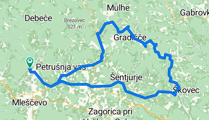
gabrje - čatež
A cycling route starting in Ivančna Gorica, Občina Ivančna Gorica, Slovenia.
Overview
About this route
specialka
- -:--
- Duration
- 41.3 km
- Distance
- 589 m
- Ascent
- 589 m
- Descent
- ---
- Avg. speed
- ---
- Max. altitude
Route quality
Waytypes & surfaces along the route
Waytypes
Quiet road
28.9 km
(70 %)
Road
4.1 km
(10 %)
Surfaces
Paved
6.6 km
(16 %)
Asphalt
6.6 km
(16 %)
Undefined
34.7 km
(84 %)
Route highlights
Points of interest along the route
Point of interest after 41.3 km
gabrje - čatež
Continue with Bikemap
Use, edit, or download this cycling route
You would like to ride gabrje - čatež or customize it for your own trip? Here is what you can do with this Bikemap route:
Free features
- Save this route as favorite or in collections
- Copy & plan your own version of this route
- Sync your route with Garmin or Wahoo
Premium features
Free trial for 3 days, or one-time payment. More about Bikemap Premium.
- Navigate this route on iOS & Android
- Export a GPX / KML file of this route
- Create your custom printout (try it for free)
- Download this route for offline navigation
Discover more Premium features.
Get Bikemap PremiumFrom our community
Other popular routes starting in Ivančna Gorica
rdeči kal- Distance
- 20 km
- Ascent
- 307 m
- Descent
- 307 m
- Location
- Ivančna Gorica, Občina Ivančna Gorica, Slovenia
Krog Polževo- Distance
- 23.5 km
- Ascent
- 379 m
- Descent
- 379 m
- Location
- Ivančna Gorica, Občina Ivančna Gorica, Slovenia
obolno- Distance
- 17.2 km
- Ascent
- 498 m
- Descent
- 498 m
- Location
- Ivančna Gorica, Občina Ivančna Gorica, Slovenia
Dolenjska - Žužemberk - Trebnje - Iv. Gorica- Distance
- 55.3 km
- Ascent
- 345 m
- Descent
- 348 m
- Location
- Ivančna Gorica, Občina Ivančna Gorica, Slovenia
Imported route- Distance
- 59 km
- Ascent
- 1,258 m
- Descent
- 1,229 m
- Location
- Ivančna Gorica, Občina Ivančna Gorica, Slovenia
gabrje - čatež- Distance
- 41.3 km
- Ascent
- 589 m
- Descent
- 589 m
- Location
- Ivančna Gorica, Občina Ivančna Gorica, Slovenia
dolenjski krog- Distance
- 137.3 km
- Ascent
- 1,061 m
- Descent
- 1,066 m
- Location
- Ivančna Gorica, Občina Ivančna Gorica, Slovenia
Šentvid_preurejam_CLONED FROM ROUTE 864676- Distance
- 64.2 km
- Ascent
- 836 m
- Descent
- 836 m
- Location
- Ivančna Gorica, Občina Ivančna Gorica, Slovenia
Open it in the app


