

Windradtour
A cycling route starting in Diespeck, Bavaria, Germany.
Overview
About this route
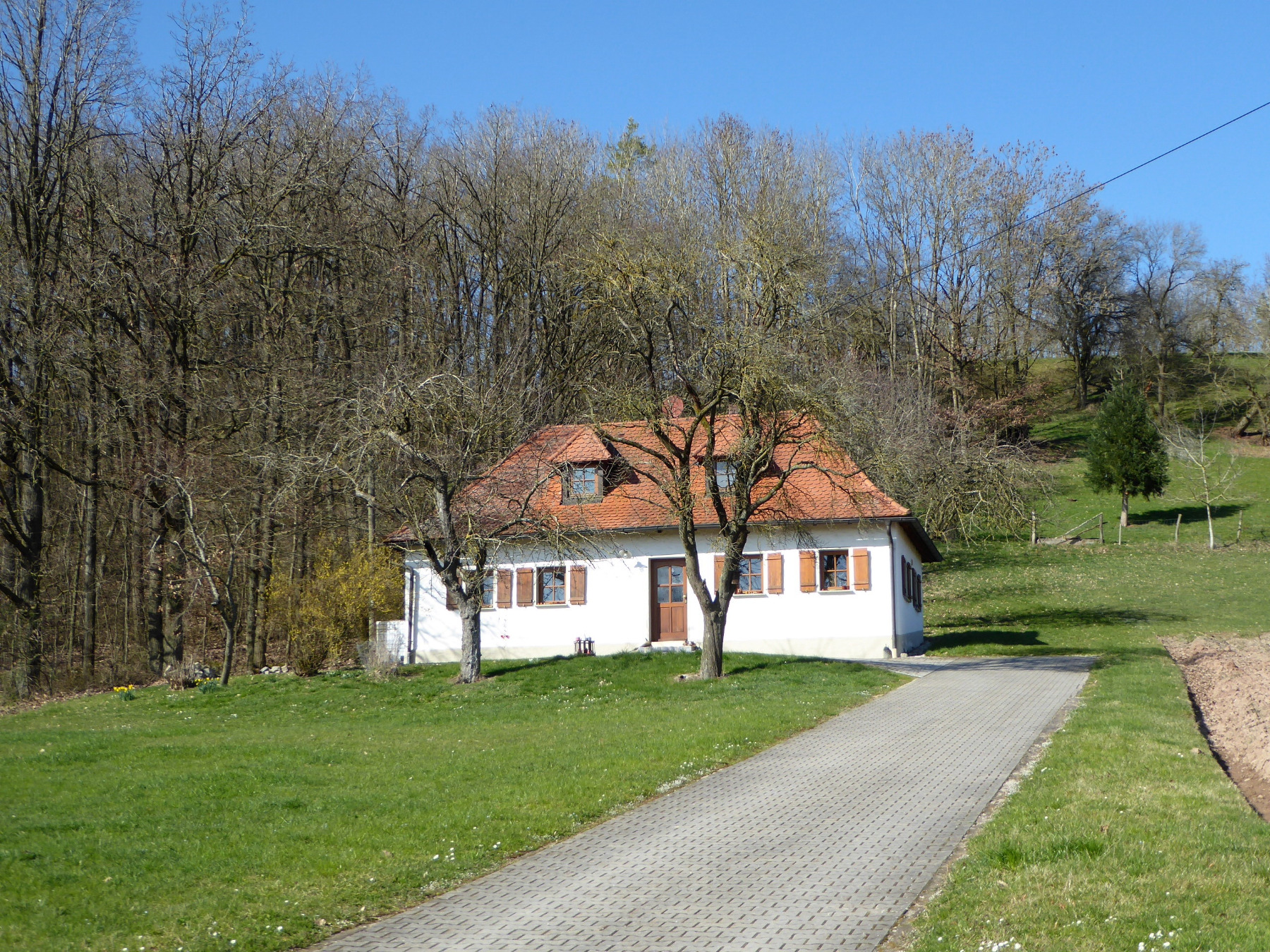
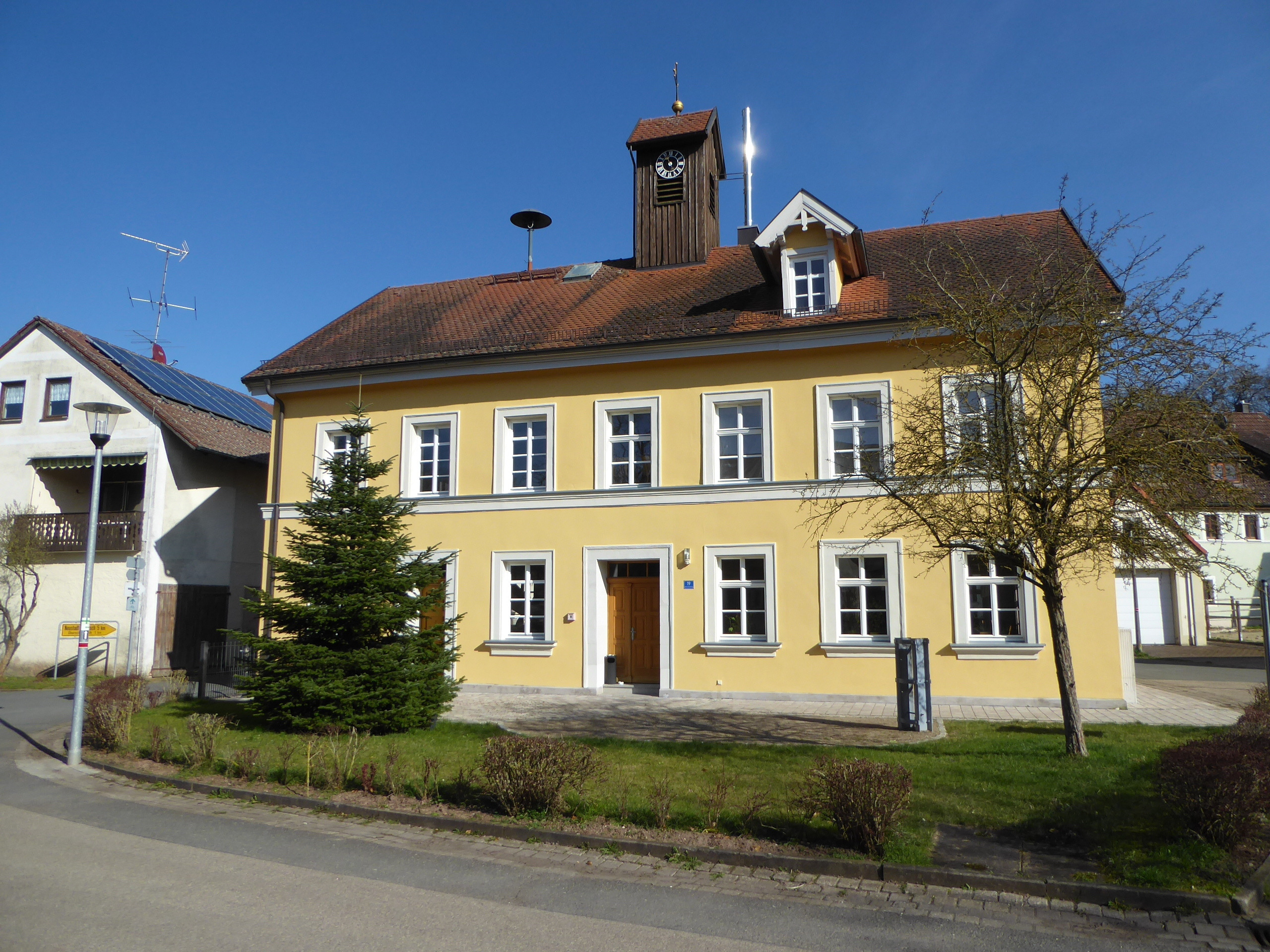
Tour to the wind turbines of Hoholz and Tanzenheid; return via the Neustadt city forest. Pass under the B 8 at the Chausseehaus roundabout, then keep right.
- -:--
- Duration
- 28.4 km
- Distance
- 279 m
- Ascent
- 281 m
- Descent
- ---
- Avg. speed
- ---
- Max. altitude
Route quality
Waytypes & surfaces along the route
Waytypes
Track
16.5 km
(58 %)
Road
4.8 km
(17 %)
Surfaces
Paved
8.5 km
(30 %)
Unpaved
10.5 km
(37 %)
Asphalt
6.8 km
(24 %)
Gravel
5.1 km
(18 %)
Continue with Bikemap
Use, edit, or download this cycling route
You would like to ride Windradtour or customize it for your own trip? Here is what you can do with this Bikemap route:
Free features
- Save this route as favorite or in collections
- Copy & plan your own version of this route
- Sync your route with Garmin or Wahoo
Premium features
Free trial for 3 days, or one-time payment. More about Bikemap Premium.
- Navigate this route on iOS & Android
- Export a GPX / KML file of this route
- Create your custom printout (try it for free)
- Download this route for offline navigation
Discover more Premium features.
Get Bikemap PremiumFrom our community
Other popular routes starting in Diespeck
 Rund um Diespeck - Ostteil
- Distance
- 15.9 km
- Ascent
- 210 m
- Descent
- 214 m
- Location
- Diespeck, Bavaria, Germany
 Arbeitsweg
- Distance
- 36.6 km
- Ascent
- 356 m
- Descent
- 358 m
- Location
- Diespeck, Bavaria, Germany
 Radtour zu den Weihern bei Gottesgab und entlang der Kleinen Weissach Teil 1
- Distance
- 32.9 km
- Ascent
- 178 m
- Descent
- 162 m
- Location
- Diespeck, Bavaria, Germany
 Sonntagmittag
- Distance
- 25.2 km
- Ascent
- 277 m
- Descent
- 286 m
- Location
- Diespeck, Bavaria, Germany
 Diespeck - Langenfeld 25 km
- Distance
- 24.6 km
- Ascent
- 274 m
- Descent
- 279 m
- Location
- Diespeck, Bavaria, Germany
 Windradtour
- Distance
- 28.4 km
- Ascent
- 279 m
- Descent
- 281 m
- Location
- Diespeck, Bavaria, Germany
 2024-03-09 Radtour Diespeck - Langenfeld (30,8 km)
- Distance
- 38.1 km
- Ascent
- 218 m
- Descent
- 216 m
- Location
- Diespeck, Bavaria, Germany
 Rundweg Diespeck-Münchsteinach-Diespeck
- Distance
- 19.1 km
- Ascent
- 161 m
- Descent
- 162 m
- Location
- Diespeck, Bavaria, Germany
Open it in the app