From Haugastøl to Flåm
- 85.6 km
- 1,970 m
- 2,955 m
- Geilo, Buskerud, Norway
A cycling route starting in Geilo, Buskerud, Norway.
Overview
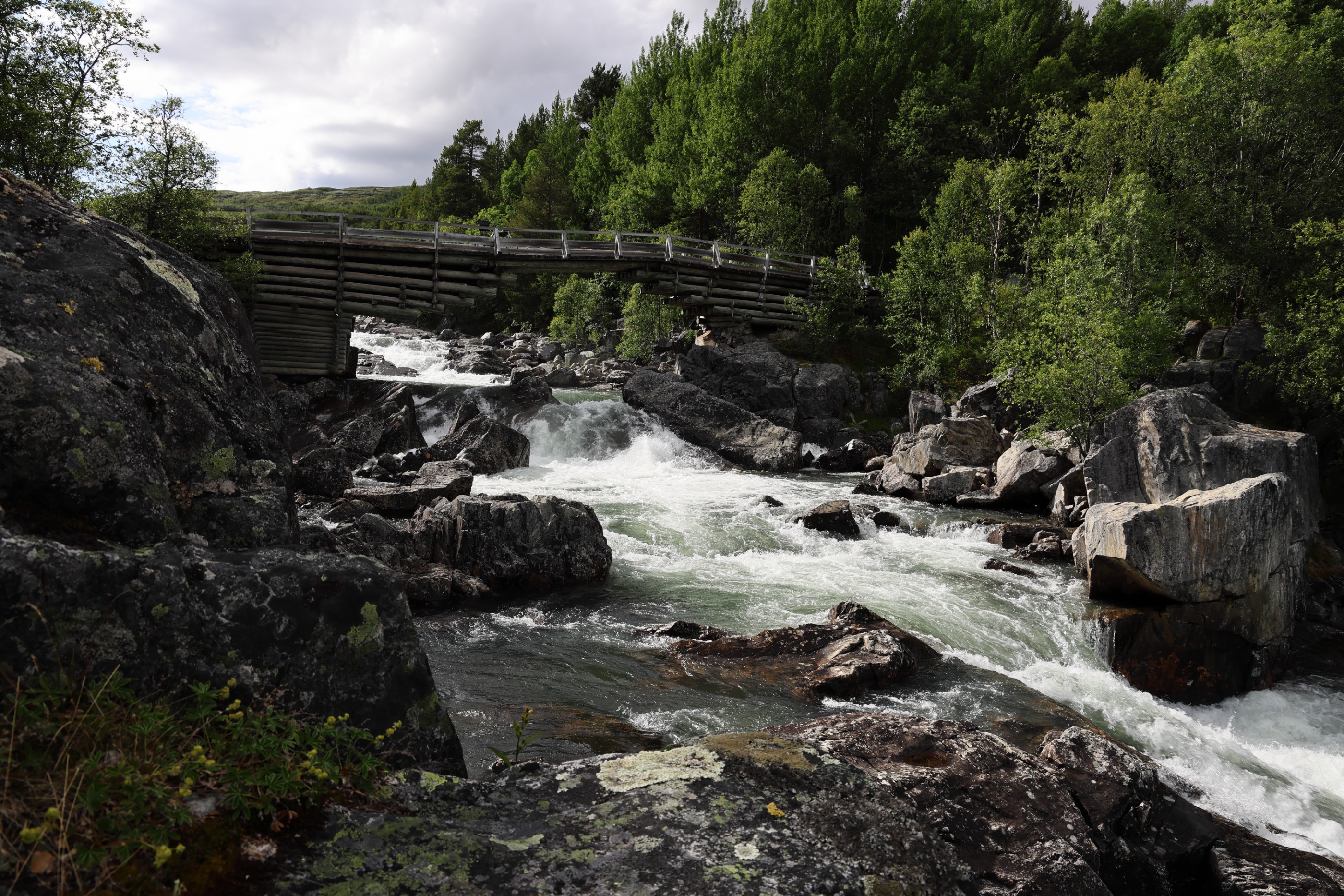
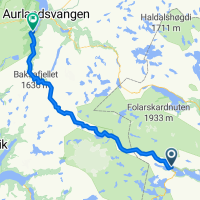
Rallarvegen Haugastøl - Finse - Flåm
The Navvies' Road from Haugastøl and Finse to Flåm (cloned from route 407695)created this 12 years ago
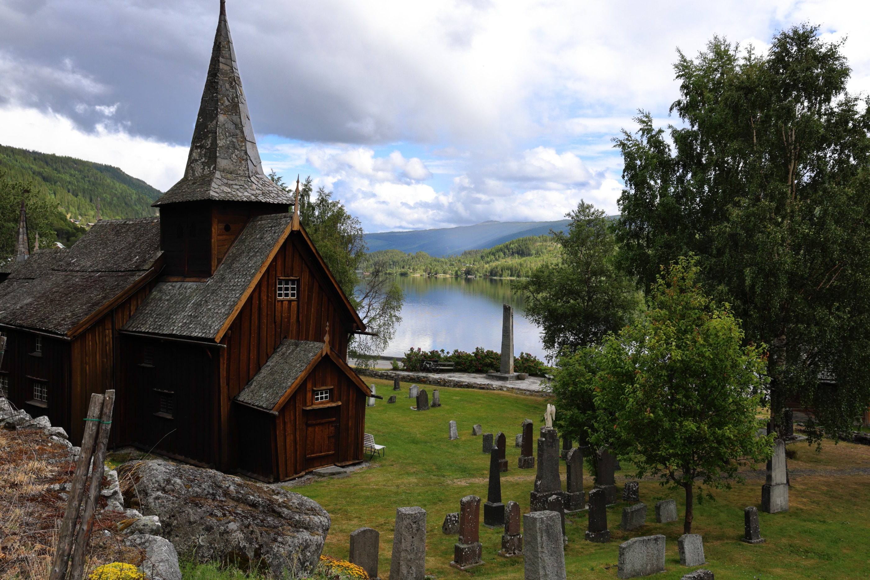
Route highlights
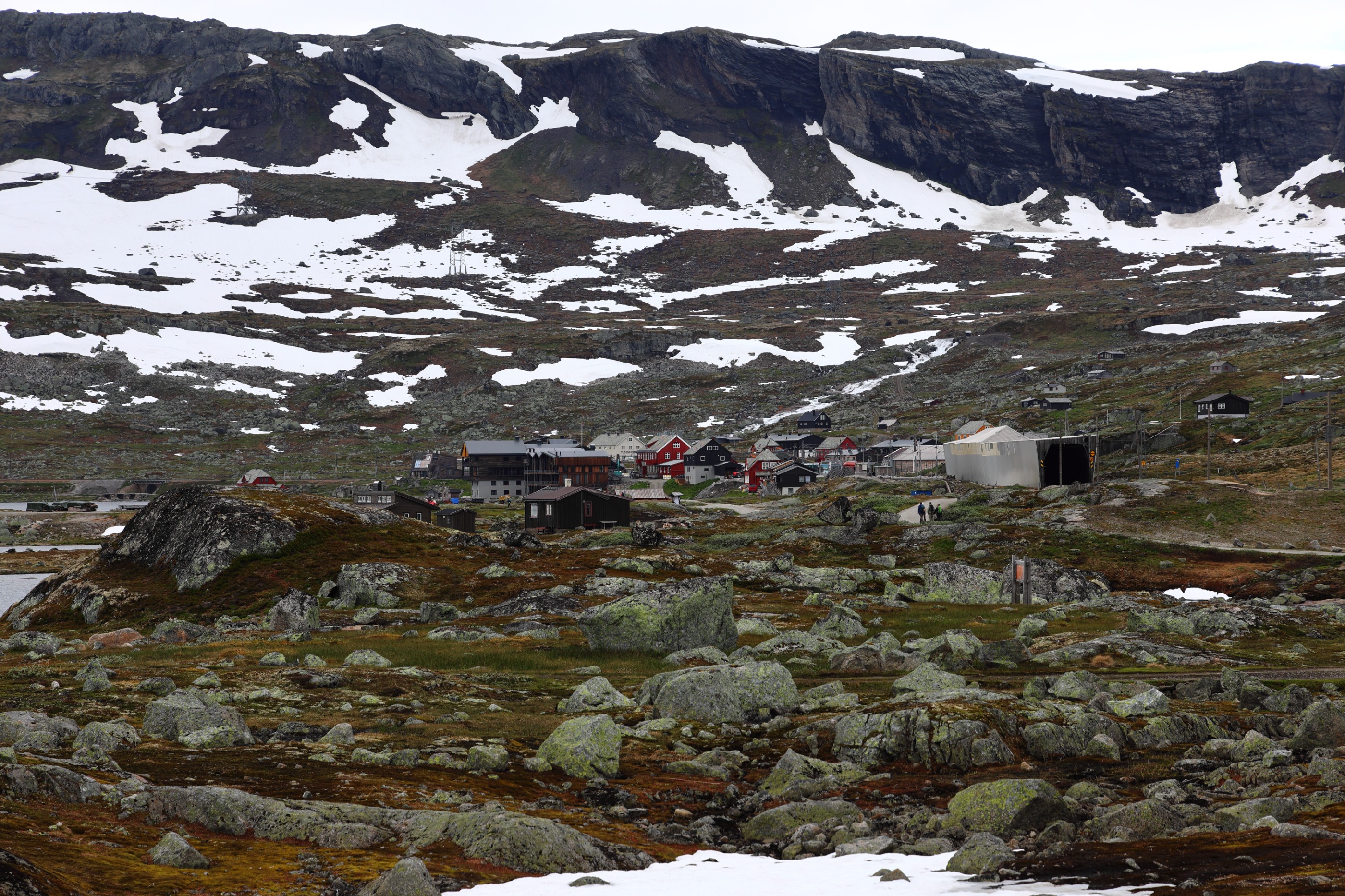
Myrdal Stasjon, knutepunkt for Rallarvegen. Sykle eller ta toget til Flåm, eller ta lokaltog til Uppsete og sykle videre til Voss. Myrdal Train Station, junction for Rallarvegen. Go by train or cycle to Flåm, or travel by local train through the tunnel to Uppsete and continue cycling to Voss.
Continue with Bikemap
You would like to ride Rallarvegen: Haugastøl - Flåm or customize it for your own trip? Here is what you can do with this Bikemap route:
Free trial for 3 days, or one-time payment. More about Bikemap Premium.
Discover more Premium features.
Get Bikemap PremiumFrom our community
Open it in the app