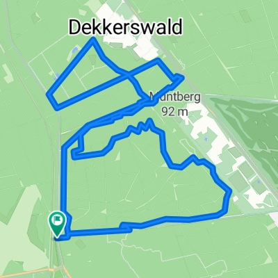
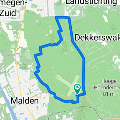
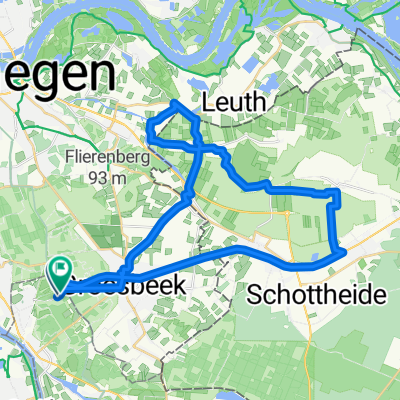
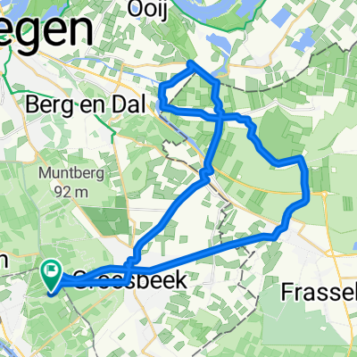
libertion
A cycling route starting in Groesbeek, Gelderland, The Netherlands.
Overview
About this route
liberation
- -:--
- Duration
- 42 km
- Distance
- 183 m
- Ascent
- 183 m
- Descent
- ---
- Avg. speed
- ---
- Max. altitude
Continue with Bikemap
Use, edit, or download this cycling route
You would like to ride libertion or customize it for your own trip? Here is what you can do with this Bikemap route:
Free features
- Save this route as favorite or in collections
- Copy & plan your own version of this route
- Sync your route with Garmin or Wahoo
Premium features
Free trial for 3 days, or one-time payment. More about Bikemap Premium.
- Navigate this route on iOS & Android
- Export a GPX / KML file of this route
- Create your custom printout (try it for free)
- Download this route for offline navigation
Discover more Premium features.
Get Bikemap PremiumFrom our community
Other popular routes starting in Groesbeek
- Reichswaldrunde
- Distance
- 41.2 km
- Ascent
- 434 m
- Descent
- 439 m
- Location
- Groesbeek, Gelderland, The Netherlands
- Von Malden nach Kranenburg zum Kaffetrinken
- Distance
- 43.9 km
- Ascent
- 164 m
- Descent
- 138 m
- Location
- Groesbeek, Gelderland, The Netherlands
- libertion
- Distance
- 42 km
- Ascent
- 183 m
- Descent
- 183 m
- Location
- Groesbeek, Gelderland, The Netherlands
- Holy Soda 95Km
- Distance
- 89.9 km
- Ascent
- 321 m
- Descent
- 321 m
- Location
- Groesbeek, Gelderland, The Netherlands
- Fietsroute Groesbeek en omgeving
- Distance
- 55.1 km
- Ascent
- 274 m
- Descent
- 292 m
- Location
- Groesbeek, Gelderland, The Netherlands
- Trainingsrondje Malden-Grave-Malden
- Distance
- 32.2 km
- Ascent
- 35 m
- Descent
- 36 m
- Location
- Groesbeek, Gelderland, The Netherlands
- Berg en Dal, deel 1
- Distance
- 17.9 km
- Ascent
- 226 m
- Descent
- 242 m
- Location
- Groesbeek, Gelderland, The Netherlands
- Grüne Route
- Distance
- 20.2 km
- Ascent
- 102 m
- Descent
- 99 m
- Location
- Groesbeek, Gelderland, The Netherlands
Open it in the app