Grand Raid Verbier-Grimentz
- 127.3 km
- 0 m
- 0 m
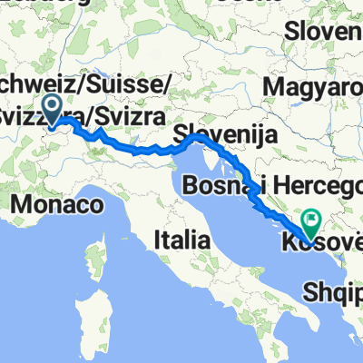
- Verbier, Valais, Switzerland
A cycling route starting in Verbier, Valais, Switzerland.
Overview
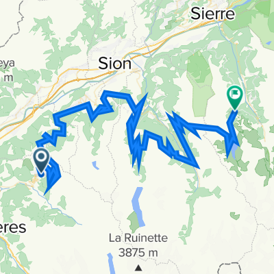
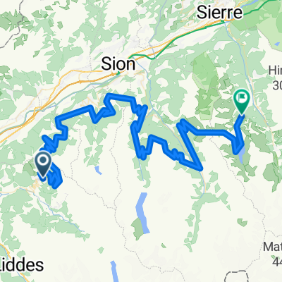
The route of the Grand Raid between Verbier and Grimentz, in Valais. This MTB race takes place every year in August. The winners reach Grimentz in less than 6h15 - and I after 2 busy days...
Distance: 128 km
Positive elevation: 5025 m (according to the race organizers)
Maximum altitude: 2792 m (Basset de Lona)
More information at grand-raid.ch and europebybike.info.
created this 12 years ago
Route highlights
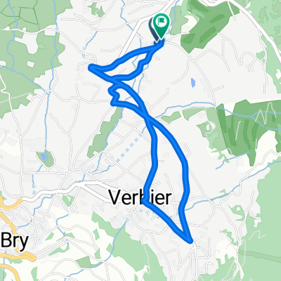
Verbier-Station, 1490 m
Le Camp de Base (Bed & Breakfast), Bâtiment de la télécabine, Tél. 027 775 33 63
Les Ruinettes, 2190 m
Croix de Coeur, 2173 m
La Tzoumaz, 1515 m
Nendaz-Station, 1380 m
Veysonnaz, 1340 m
Les Collons, 1800 m
Hérémence, 1237 m
Pension de Prolin 027 281 28 29
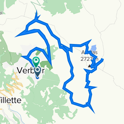
Mandelon, 2068 m
Chemeuille, 2140 m
Evolène, 1370 m
Volovron, 1760 m
Eison, 1650 m
L'A Vieille, 2370 m
Pas de Lona, 2787 m
Basset de Lona, 2792 m
Continue with Bikemap
You would like to ride Grand Raid Verbier-Grimentz or customize it for your own trip? Here is what you can do with this Bikemap route:
Free trial for 3 days, or one-time payment. More about Bikemap Premium.
Discover more Premium features.
Get Bikemap PremiumFrom our community
Open it in the app