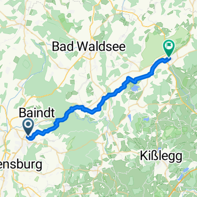
RWF 2022 4. Tag Umgehung Ravensburg
- 84.7 km
- 575 m
- 468 m
- Baienfurt, Baden-Wurttemberg, Germany
A cycling route starting in Baienfurt, Baden-Wurttemberg, Germany.
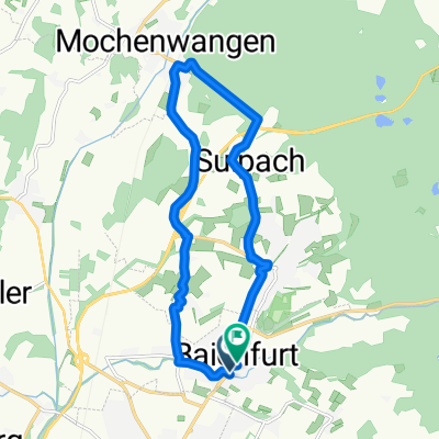
Overview
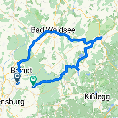
Summer cycling tour Oberschwaben - Northern Italy
created this 12 years ago
Continue with Bikemap
You would like to ride 2013-07-26 bis 2013-08-02 Gotthard-Tour or customize it for your own trip? Here is what you can do with this Bikemap route:
Free trial for 3 days, or one-time payment. More about Bikemap Premium.
Discover more Premium features.
Get Bikemap PremiumFrom our community
Open it in the app