

Mangalia - Balcik - Nisipurile de Aur
A cycling route starting in Mangalia, Constanța County, Romania.
Overview
About this route
Mangalia - Balcik - Nisipurile de Aur
- -:--
- Duration
- 135.5 km
- Distance
- 496 m
- Ascent
- 487 m
- Descent
- ---
- Avg. speed
- ---
- Max. altitude

Route highlights
Points of interest along the route
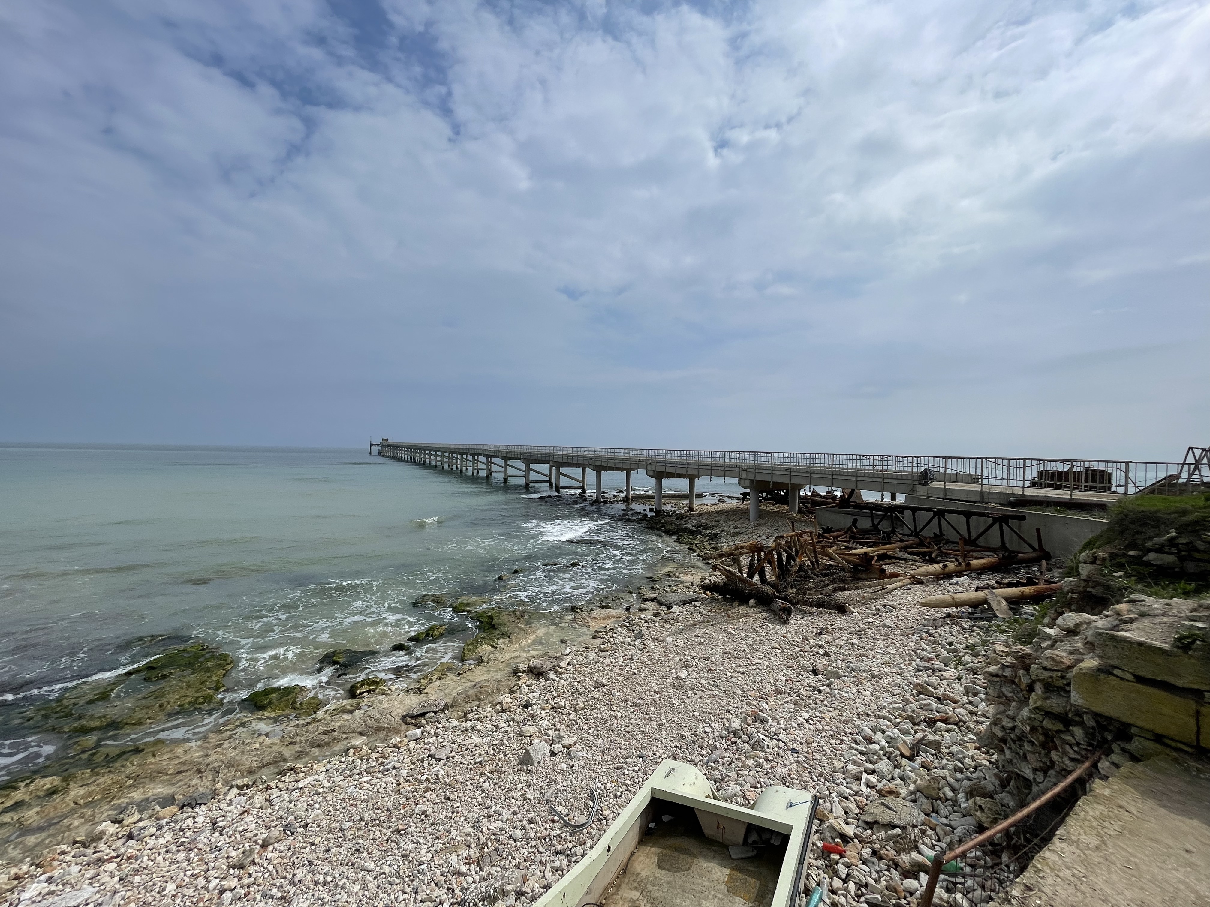
Point of interest after 48.1 km
Capul Shabla (cel mai estic punct al Bulgariei). Pt Mihai si Costin: Aici o sa ne intalnim miercuri cand veniti voi cu fetele.
Point of interest after 54.1 km
Rezervatia Tyulenovo (loc de campat)
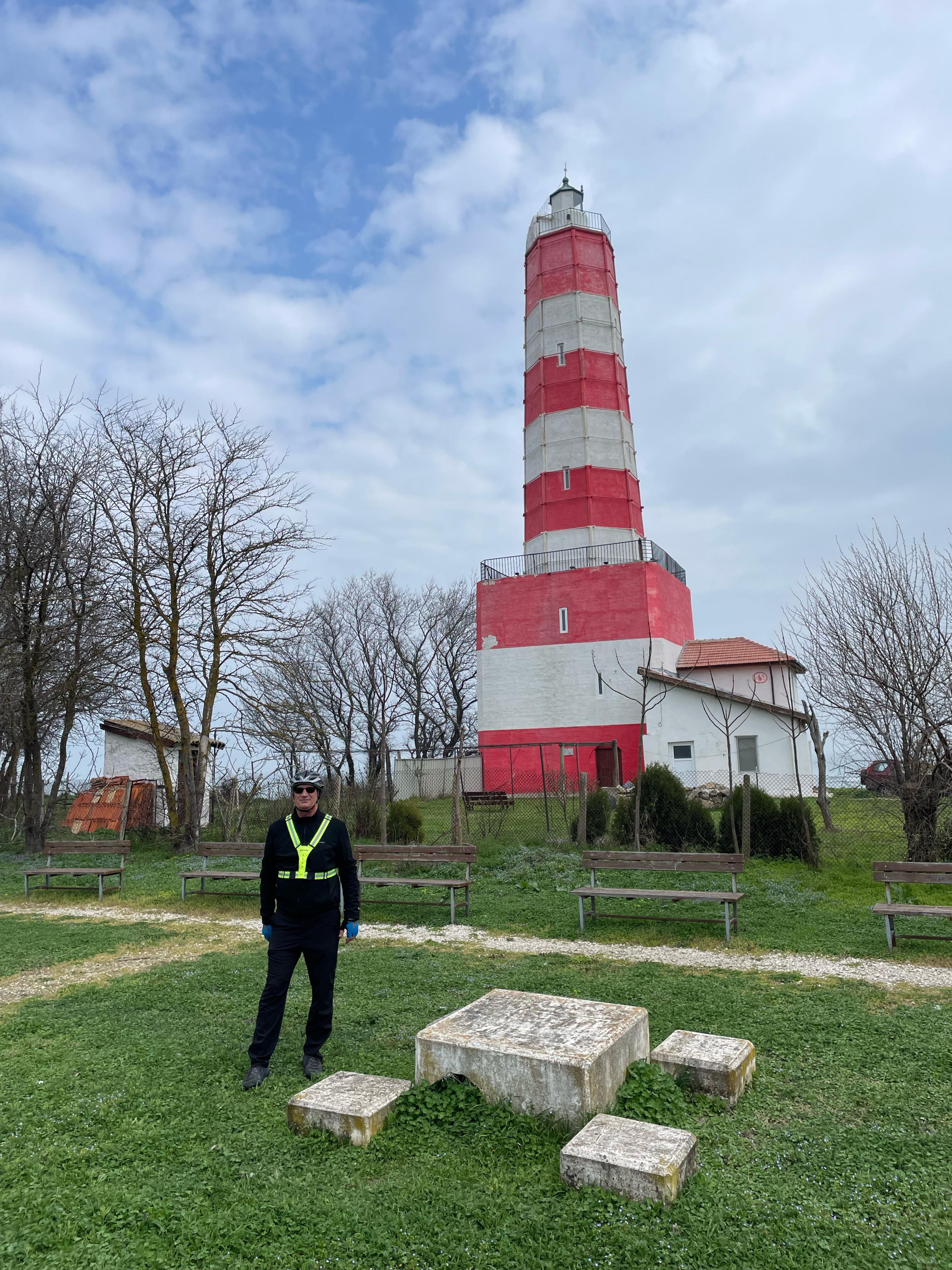
Point of interest after 78.4 km
Capul Kaliakra
Point of interest after 82.4 km
Canionul Bolata si golful omonim.
Point of interest after 91.1 km
Ferma de scoici Dalboka
Point of interest after 118.7 km
Castelul Reginei Maria din Balcik
Continue with Bikemap
Use, edit, or download this cycling route
You would like to ride Mangalia - Balcik - Nisipurile de Aur or customize it for your own trip? Here is what you can do with this Bikemap route:
Free features
- Save this route as favorite or in collections
- Copy & plan your own version of this route
- Split it into stages to create a multi-day tour
- Sync your route with Garmin or Wahoo
Premium features
Free trial for 3 days, or one-time payment. More about Bikemap Premium.
- Navigate this route on iOS & Android
- Export a GPX / KML file of this route
- Create your custom printout (try it for free)
- Download this route for offline navigation
Discover more Premium features.
Get Bikemap PremiumFrom our community
Other popular routes starting in Mangalia
 DN39, Limanu to DN39, Limanu
- Distance
- 70.3 km
- Ascent
- 350 m
- Descent
- 345 m
- Location
- Mangalia, Constanța County, Romania
 Cu MTB la mare - partea a doua 🤪
- Distance
- 27.5 km
- Ascent
- 199 m
- Descent
- 202 m
- Location
- Mangalia, Constanța County, Romania
 Triatlon Fara asfalt
- Distance
- 40.5 km
- Ascent
- 236 m
- Descent
- 243 m
- Location
- Mangalia, Constanța County, Romania
 Magical night ride
- Distance
- 31.6 km
- Ascent
- 246 m
- Descent
- 246 m
- Location
- Mangalia, Constanța County, Romania
 Vama Veche, ROU - Shabla, BG și retur
- Distance
- 69.6 km
- Ascent
- 344 m
- Descent
- 341 m
- Location
- Mangalia, Constanța County, Romania
 Tura litoralica...
- Distance
- 134.5 km
- Ascent
- 316 m
- Descent
- 320 m
- Location
- Mangalia, Constanța County, Romania
 Vama veche
- Distance
- 36.6 km
- Ascent
- 233 m
- Descent
- 233 m
- Location
- Mangalia, Constanța County, Romania
 Mangalia - Balcik - Nisipurile de Aur
- Distance
- 135.5 km
- Ascent
- 496 m
- Descent
- 487 m
- Location
- Mangalia, Constanța County, Romania
Open it in the app