Prepa Half
- 49.4 km
- 149 m
- 149 m
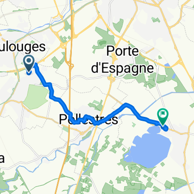
- Canohès, Occitanie, France
A cycling route starting in Canohès, Occitanie, France.
Overview
Parcours plat, idéal pour préparation d'un CLM
Route quality
Quiet road
11.8 km
(24 %)
Road
6.9 km
(14 %)
Paved
17.8 km
(36 %)
Asphalt
17.8 km
(36 %)
Undefined
31.6 km
(64 %)
Continue with Bikemap
You would like to ride Prepa Half or customize it for your own trip? Here is what you can do with this Bikemap route:
Free trial for 3 days, or one-time payment. More about Bikemap Premium.
Discover more Premium features.
Get Bikemap PremiumFrom our community
Open it in the app