

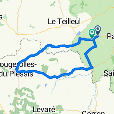
Stage 4 - Le Teilleul to St Malo
A cycling route starting in Le Teilleul, Normandy, France.
Overview
About this route
Stage 4
- -:--
- Duration
- 97.5 km
- Distance
- 224 m
- Ascent
- 426 m
- Descent
- ---
- Avg. speed
- ---
- Max. altitude
Route quality
Waytypes & surfaces along the route
Waytypes
Quiet road
14.6 km
(15 %)
Road
7.8 km
(8 %)
Surfaces
Paved
71.2 km
(73 %)
Unpaved
1 km
(1 %)
Asphalt
71.2 km
(73 %)
Loose gravel
1 km
(1 %)
Undefined
25.4 km
(26 %)
Continue with Bikemap
Use, edit, or download this cycling route
You would like to ride Stage 4 - Le Teilleul to St Malo or customize it for your own trip? Here is what you can do with this Bikemap route:
Free features
- Save this route as favorite or in collections
- Copy & plan your own version of this route
- Split it into stages to create a multi-day tour
- Sync your route with Garmin or Wahoo
Premium features
Free trial for 3 days, or one-time payment. More about Bikemap Premium.
- Navigate this route on iOS & Android
- Export a GPX / KML file of this route
- Create your custom printout (try it for free)
- Download this route for offline navigation
Discover more Premium features.
Get Bikemap PremiumFrom our community
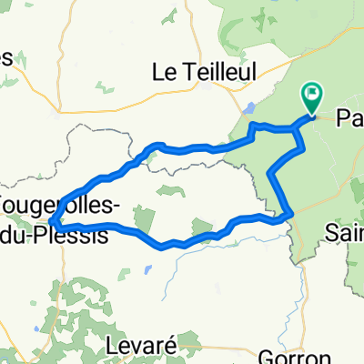
Other popular routes starting in Le Teilleul
 Route in Mantilly
- Distance
- 36.7 km
- Ascent
- 303 m
- Descent
- 279 m
- Location
- Le Teilleul, Normandy, France
 Stage 4 - Le Teilleul to St Malo
- Distance
- 97.5 km
- Ascent
- 224 m
- Descent
- 426 m
- Location
- Le Teilleul, Normandy, France
 France Day 2
- Distance
- 93.6 km
- Ascent
- 618 m
- Descent
- 646 m
- Location
- Le Teilleul, Normandy, France
 Mantilly, Passais, Vauce, Epinay
- Distance
- 34.9 km
- Ascent
- 228 m
- Descent
- 234 m
- Location
- Le Teilleul, Normandy, France
 Route du Mont Saint-Michel, Mantilly to Le Bourg, Mantilly
- Distance
- 35.1 km
- Ascent
- 322 m
- Descent
- 319 m
- Location
- Le Teilleul, Normandy, France
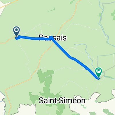 From Mantilly to Saint-Fraimbault
- Distance
- 11.3 km
- Ascent
- 30 m
- Descent
- 81 m
- Location
- Le Teilleul, Normandy, France
Open it in the app