

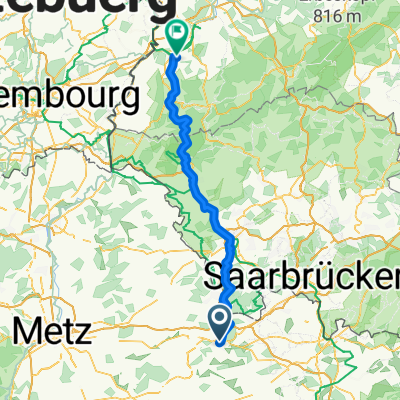
Saint Avold - Lille
A cycling route starting in Saint-Avold, Grand Est, France.
Overview
About this route
Eté 2013 - partie 2
- -:--
- Duration
- 466.5 km
- Distance
- 1,110 m
- Ascent
- 1,316 m
- Descent
- ---
- Avg. speed
- ---
- Max. altitude

Route quality
Waytypes & surfaces along the route
Waytypes
Busy road
291.1 km
(62 %)
Road
60.2 km
(13 %)
Surfaces
Paved
223.5 km
(48 %)
Unpaved
3.5 km
(<1 %)
Asphalt
205.9 km
(44 %)
Paved (undefined)
13.1 km
(3 %)
Route highlights
Points of interest along the route
Point of interest after 91.6 km
Camping 'Au bon accueil' (km 94)
Point of interest after 209.4 km
Camping Bouillon, km 208
Point of interest after 367.5 km
Camping Maubeuges, km 372 (Etape 153 km env.)
Continue with Bikemap
Use, edit, or download this cycling route
You would like to ride Saint Avold - Lille or customize it for your own trip? Here is what you can do with this Bikemap route:
Free features
- Save this route as favorite or in collections
- Copy & plan your own version of this route
- Split it into stages to create a multi-day tour
- Sync your route with Garmin or Wahoo
Premium features
Free trial for 3 days, or one-time payment. More about Bikemap Premium.
- Navigate this route on iOS & Android
- Export a GPX / KML file of this route
- Create your custom printout (try it for free)
- Download this route for offline navigation
Discover more Premium features.
Get Bikemap PremiumFrom our community
Other popular routes starting in Saint-Avold
 Mon parcours
- Distance
- 47.2 km
- Ascent
- 949 m
- Descent
- 948 m
- Location
- Saint-Avold, Grand Est, France
 Böhl-Iggelheim - Wahagnies 2. Etappe
- Distance
- 126.7 km
- Ascent
- 594 m
- Descent
- 632 m
- Location
- Saint-Avold, Grand Est, France
 Etappe 5
- Distance
- 75.7 km
- Ascent
- 437 m
- Descent
- 434 m
- Location
- Saint-Avold, Grand Est, France
 De Rue de l'Ermitage, Saint-Avold à Rue de l'Ermitage, Saint-Avold
- Distance
- 22.4 km
- Ascent
- 398 m
- Descent
- 396 m
- Location
- Saint-Avold, Grand Est, France
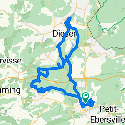
 De 1 Passage des Poilus, Saint-Avold à Michael-Scherer-Straße, Konz
- Distance
- 89.5 km
- Ascent
- 304 m
- Descent
- 403 m
- Location
- Saint-Avold, Grand Est, France
 Oderfang 13km
- Distance
- 12.9 km
- Ascent
- 154 m
- Descent
- 157 m
- Location
- Saint-Avold, Grand Est, France
 Saint Avold - Lille
- Distance
- 466.5 km
- Ascent
- 1,110 m
- Descent
- 1,316 m
- Location
- Saint-Avold, Grand Est, France
 Rue de l'Ermitage, Saint-Avold to Rue de l'Ermitage, Saint-Avold
- Distance
- 24 km
- Ascent
- 350 m
- Descent
- 335 m
- Location
- Saint-Avold, Grand Est, France
Open it in the app