J5D RC2 MIPIM 2018
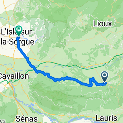
- 29.5 km
- 108 m
- 345 m
- Bonnieux, Provence-Alpes-Côte d'Azur Region, France
A cycling route starting in Bonnieux, Provence-Alpes-Côte d'Azur Region, France.
Overview
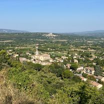
Leticia Dia 4 Capelongue Roussillon Gordes Bories
created this 12 years ago
Continue with Bikemap
You would like to ride Leticia Dia 4 Capelongue Roussillon Gordes Bories or customize it for your own trip? Here is what you can do with this Bikemap route:
Free trial for 3 days, or one-time payment. More about Bikemap Premium.
Discover more Premium features.
Get Bikemap PremiumFrom our community
Open it in the app