

Allgäu Etappe 1: Isny - Hittisau
A cycling route starting in Isny, Baden-Wurttemberg, Germany.
Overview
About this route
Isny - Ettensberg - Niedersonthofen - Freudpolz - Reute - Zaumberg - Immenstadt - Blaichach - via OT Ettensberg - Gunzesried - Ofterschwanger Horn (World Cup cabin) - Gunzesried-Säge - Bolgennach - Hitisau Hotel zum Hirsch
- -:--
- Duration
- 83.3 km
- Distance
- 1,527 m
- Ascent
- 1,436 m
- Descent
- ---
- Avg. speed
- ---
- Max. altitude

Route quality
Waytypes & surfaces along the route
Waytypes
Quiet road
36.6 km
(44 %)
Road
17.5 km
(21 %)
Surfaces
Paved
77.4 km
(93 %)
Unpaved
3.3 km
(4 %)
Asphalt
74.1 km
(89 %)
Paved (undefined)
3.3 km
(4 %)
Route highlights
Points of interest along the route
Point of interest after 52.5 km
Mittagessen auf der weltcuphütte ofterschwanger horn
Point of interest after 52.5 km
Berghof Felder laut belegungsplan ausgebucht
Point of interest after 52.5 km
Alpengasthof Hörnlepass Telefon: +43-5517-5707-0 | Ausserwald 1 | A-6991 Riezlern/Kleinwalsertal
Point of interest after 52.5 km
ggf. hier Abzweig zum Berggasthof Sesselalpe Sesselweg 10 Telefon: 08322 4864
Point of interest after 83.3 km
Übernachtung : Zum Hirschen 55.- €/P.
Continue with Bikemap
Use, edit, or download this cycling route
You would like to ride Allgäu Etappe 1: Isny - Hittisau or customize it for your own trip? Here is what you can do with this Bikemap route:
Free features
- Save this route as favorite or in collections
- Copy & plan your own version of this route
- Split it into stages to create a multi-day tour
- Sync your route with Garmin or Wahoo
Premium features
Free trial for 3 days, or one-time payment. More about Bikemap Premium.
- Navigate this route on iOS & Android
- Export a GPX / KML file of this route
- Create your custom printout (try it for free)
- Download this route for offline navigation
Discover more Premium features.
Get Bikemap PremiumFrom our community
Other popular routes starting in Isny
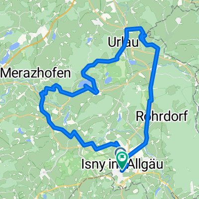 Isny Argenwege Isny
- Distance
- 44 km
- Ascent
- 448 m
- Descent
- 437 m
- Location
- Isny, Baden-Wurttemberg, Germany
 Halolo junge
- Distance
- 11.8 km
- Ascent
- 119 m
- Descent
- 117 m
- Location
- Isny, Baden-Wurttemberg, Germany
 Isny - Allgäuer Käsestraße - HeumilchKäse Runde
- Distance
- 28.3 km
- Ascent
- 339 m
- Descent
- 338 m
- Location
- Isny, Baden-Wurttemberg, Germany
 Unterhalb der Kugel
- Distance
- 26.2 km
- Ascent
- 617 m
- Descent
- 614 m
- Location
- Isny, Baden-Wurttemberg, Germany
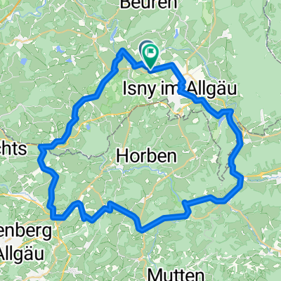 Allgäu-Türme, Tore,Tobel
- Distance
- 50.4 km
- Ascent
- 1,628 m
- Descent
- 1,634 m
- Location
- Isny, Baden-Wurttemberg, Germany
 Unbenannte Route
- Distance
- 49.4 km
- Ascent
- 413 m
- Descent
- 531 m
- Location
- Isny, Baden-Wurttemberg, Germany
 Isny - Allgäuer Käsestraße - HeumilchKäse Runde - Isny - Allgäuer Käsestraße - HeumilchKäse Runde
- Distance
- 31.1 km
- Ascent
- 504 m
- Descent
- 503 m
- Location
- Isny, Baden-Wurttemberg, Germany
 Schwarzer Grat-Kreuzthal_2021-09-23
- Distance
- 65.9 km
- Ascent
- 1,241 m
- Descent
- 1,325 m
- Location
- Isny, Baden-Wurttemberg, Germany
Open it in the app