
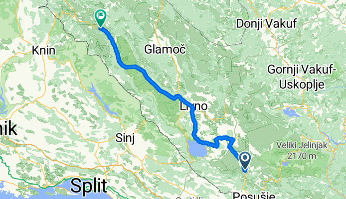
Bałkany 2013 - Dzień 24
A cycling route starting in Drežnica, Federation of Bosnia and Herzegovina, Bosnia and Herzegovina.
Overview
About this route
Mesihovina (Bosnia and Herzegovina) - Donje Peulje (Bosnia and Herzegovina)distance from the odometer - 107.99 km
- -:--
- Duration
- 111.6 km
- Distance
- 565 m
- Ascent
- 661 m
- Descent
- ---
- Avg. speed
- ---
- Max. altitude
Route quality
Waytypes & surfaces along the route
Waytypes
Quiet road
5.6 km
(5 %)
Access road
1.1 km
(1 %)
Surfaces
Paved
102.7 km
(92 %)
Asphalt
102.7 km
(92 %)
Undefined
8.9 km
(8 %)
Continue with Bikemap
Use, edit, or download this cycling route
You would like to ride Bałkany 2013 - Dzień 24 or customize it for your own trip? Here is what you can do with this Bikemap route:
Free features
- Save this route as favorite or in collections
- Copy & plan your own version of this route
- Split it into stages to create a multi-day tour
- Sync your route with Garmin or Wahoo
Premium features
Free trial for 3 days, or one-time payment. More about Bikemap Premium.
- Navigate this route on iOS & Android
- Export a GPX / KML file of this route
- Create your custom printout (try it for free)
- Download this route for offline navigation
Discover more Premium features.
Get Bikemap PremiumFrom our community
Other popular routes starting in Drežnica
 Bałkany 2013 - Dzień 24
- Distance
- 111.6 km
- Ascent
- 565 m
- Descent
- 661 m
- Location
- Drežnica, Federation of Bosnia and Herzegovina, Bosnia and Herzegovina
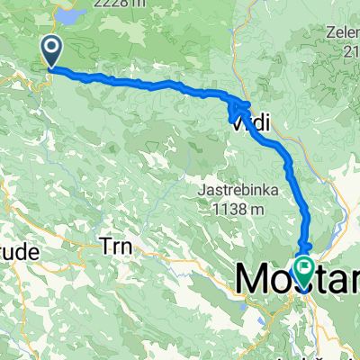 Bidinje mostar
- Distance
- 64 km
- Ascent
- 829 m
- Descent
- 2,072 m
- Location
- Drežnica, Federation of Bosnia and Herzegovina, Bosnia and Herzegovina
 Around Vran
- Distance
- 52.6 km
- Ascent
- 816 m
- Descent
- 816 m
- Location
- Drežnica, Federation of Bosnia and Herzegovina, Bosnia and Herzegovina
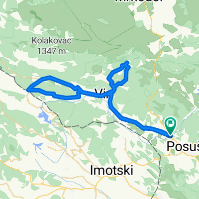
 L403 – Posušje – Broćanac – Tribstovo jezero – Brina - Posušje
- Distance
- 32.6 km
- Ascent
- 610 m
- Descent
- 610 m
- Location
- Drežnica, Federation of Bosnia and Herzegovina, Bosnia and Herzegovina
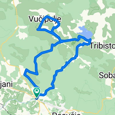 L402 – Posušje (stećci na Ričini) – Vučipolje – Tribstovo jezero – Brina - Posušje (stećci na Ričini)
- Distance
- 24.5 km
- Ascent
- 527 m
- Descent
- 527 m
- Location
- Drežnica, Federation of Bosnia and Herzegovina, Bosnia and Herzegovina
 Cilj Posušje - posljednja 3km
- Distance
- 3 km
- Ascent
- 24 m
- Descent
- 18 m
- Location
- Drežnica, Federation of Bosnia and Herzegovina, Bosnia and Herzegovina
 Oko Zavelima uz posjetu Žukovici
- Distance
- 57.9 km
- Ascent
- 934 m
- Descent
- 933 m
- Location
- Drežnica, Federation of Bosnia and Herzegovina, Bosnia and Herzegovina
 Posuski Dir
- Distance
- 53 km
- Ascent
- 731 m
- Descent
- 730 m
- Location
- Drežnica, Federation of Bosnia and Herzegovina, Bosnia and Herzegovina
Open it in the app